PJHoffnet
Senior Member
- Joined
- Aug 20, 2018
- Messages
- 192
- Location
- USA
- Vessel Name
- Changes in L'Attitudes
- Vessel Make
- 1999 Maxum 4100 SCA (not a trawler)
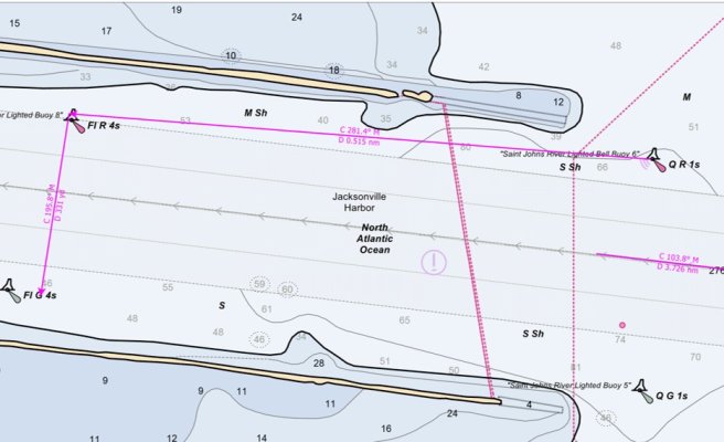
My voyage planning rule of thumb (for entering/departing inlets the first time) is to always cross the COLREGS demarcation line as close to center channel as possible.