Chris:
Since I'm not an owner of it, I am researching online and talking to dealers at shows. Set me straight if I don't have this right.
Furuno has 3 layers to the package. Hardware is Furuno. Then you have to buy / subscribe to TZ. Then you get charts. Any other option is 2 layers. I just don't get it on an expensive electronics package where you have to subscribe to 3rd party software to use the electronics.
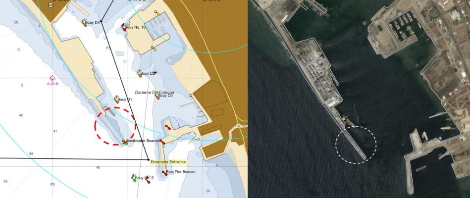
Charts. Seems no one has ALL of the charts options. Part of what I'm trying to get a grip on is WHAT charts do I want. Yeah, all of them can deliver NOAA vector and rastor charts, so having that is no differentiator between MFD brands. But what do I want? You have pretty (which is in the eye of the beholder) but that's not my deal. This is an issue we have danced around earlier in this thread. Stuff can look pretty, stuff can look detailed, but is it ACCURATE? And it seems stuff can be great in one area and get you into trouble elsewhere. The perfect package seems not to exist, so options to bail out to something else seems important, if it seems right to do. Brands are backing into corners on that score.
NOAA charts are fine and in fact preferable in deeper open waters. Less clutter. But you are on the Chesapeake and you know a lot of anchorages have thin water and can be tricky. Open up a NOAA chart on some place like Fairlee Creek (Eastern Shore, Kent County, on the Bay north of the Chester River mouth). A NOAA chart won't get you in there safely. Now go online to the Navionics site and look at the detail, and that's much better. Now do the same thing with C-map. Both have more detail, but a bit different. Which is right? Cmor doesn't show its maps, so one can't judge it.
All the time I see people say they run something like NOAA charts on the MFD but have something like Aquamaps up on an iPad next to it. If you are running an older MFD and that's a solution to keep things working, that's great. If I am about to spend $35k on an electronics package and I have to have an iPad or laptop to make things work well on a brand new system, well that's pretty much a BS situation.
That's my quandary. Set me straight. Please. The dealers can't. They say that's pretty much true, and so just pick your poison.
We are talking Furuno at the moment. Simrad has its own issues. Garmin has its own issues. Rest assured I'm not picking on Furuno.
Well first, my previous Furuno equipment was NavNET 3D, installed in 2009... and my copy of TZ on the computers is v2.x from back then too... so things may have changed.
But I just go to this link and download charts, the free ones in our case (NOAA raster and vector, 3D, sat photos, bathymetric, fishing, etc.):
https://www.furunousa.com/en/products/gps_and_chart_plotters/browse?filter=Discontinued.eq.false&group={CFBDF652-0102-4A61-9835-CF99FD2D0A6F}&groupName=Charts%20for%20NavNet%203D,%20TZtouch,%20TZtouch2%20and%20TZtouch3
Or if that doesn't work for you, go here
https://www.furunousa.com/en/products/gps_and_chart_plotters and then choose the Charts option.
Each download installs on both computers (TZ) and on the MFD (Furuno).
Yes, Fairlee Creek is tricky. The first local knowledge we had for entering was "drive the bow up on the beach, turn left 90°, drive the bow up on the beach, turn right 90°, power through the cut, E Voila!"
Yes, the NOAA raster and vector charts only show minimal detail. OTOH, I just checked not-up-to-date C-Map vector charts in their older Plan2Nav app, up-to-date vector charts in Wartsila's iSailor app, and up-to-date vector charts in Aqua Map... and all of those vector charts are all pretty much identical with the NOAA vector chart. I suspect if I checked the Garmin charts on the boat... same same (and if I remember, I'll do that next time on onboard and let you know if I'm wrong).
I think part of the point is that no chart will get you into Fairlee Creek safely without some luck; best to have some local knowledge to have a clue. For that particular place. And for others with similar issues (some inlets, for example).
We do use tablet apps, but that's about the charts only in one instance... otherwise, it's mostly for hot backup of the main MFD craps out*... but mostly for convenience... so crew can be wandering around the boat or sitting out of MFD view and still see/pay attention to where we are and where we're going.
(* PC with TZ, two laptops, two phones... lots of layers of back-up on board... never had an MFD failure yet...)
Aqua Map is indeed the slight exception to that; they also offer an inexpensive in-app purchase for "recent" (last 3 years) USACE survey data and that is specifically useful for traveling along some places in the AICW. That said, many just follow the ATONs with no problem... so it's not like this extra info is critical, especially for relatively shallow draft vessels and for navigators who can read the tide charts.
Garmin charges ($99, IIRC) for our vector chart update; I suspect that's an annual update, don't know yet. Haven't done this year yet. I don't notice their charts being any better, or even much different, than the NOAA vector charts.
We get our new Furuno TZT3 16" MFD installed next week. I've been assuming the newer MFDs use the same charts as the older units (that link above seems to confirm), but I''ll know more about that when the smoke clears.
-Chris