OP
OP
O C Diver
Guru
- Joined
- Dec 16, 2010
- Messages
- 12,933
- Location
- USA
- Vessel Name
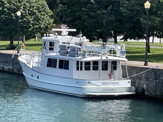
- Slow Hand
- Vessel Make
- Cherubini Independence 45
So an update:
After the Black River, I spent 3 days in the Apostle Islands and 2 days at Pike's Bay Marina near Bayfield. Was able to do some hiking on 3 of the islands and spend some time with Sean and his family. Met Brad at Pike's and was able to go out to dinner with Jerry (friend from Fort Myers who keeps a boat in Port Superior). It was great to meet everyone and take a more leisurely pace.
Many of the islands are part or the National Park. Some have trails; most have docks for atleast tying a dinghy to. I would describe most of them as easy comfortable walks. Some have lots of history with relics; others have lighthouses, and some are just fun to stop with friends and get off the boat. For people who boat in the area, there are numerous choice, so it's hard to imagine getting bored with the same old island.
Some pictures:
NPS map of the Apostles showing docks and some trails.

The lighthouse built in 1881 on Sand Island.

Sunrise off of Otter Island.

A nice view from the overlook at Rocky Island.

3 different types of waterfowl off the beach of Rocky.

With so many islands, it seems near impossible not to find a nice lee anchorage for the night. This one is off Rocky Island where I think 6 of us were anchored for the night.

Ted
After the Black River, I spent 3 days in the Apostle Islands and 2 days at Pike's Bay Marina near Bayfield. Was able to do some hiking on 3 of the islands and spend some time with Sean and his family. Met Brad at Pike's and was able to go out to dinner with Jerry (friend from Fort Myers who keeps a boat in Port Superior). It was great to meet everyone and take a more leisurely pace.
Many of the islands are part or the National Park. Some have trails; most have docks for atleast tying a dinghy to. I would describe most of them as easy comfortable walks. Some have lots of history with relics; others have lighthouses, and some are just fun to stop with friends and get off the boat. For people who boat in the area, there are numerous choice, so it's hard to imagine getting bored with the same old island.
Some pictures:
NPS map of the Apostles showing docks and some trails.
The lighthouse built in 1881 on Sand Island.
Sunrise off of Otter Island.
A nice view from the overlook at Rocky Island.
3 different types of waterfowl off the beach of Rocky.
With so many islands, it seems near impossible not to find a nice lee anchorage for the night. This one is off Rocky Island where I think 6 of us were anchored for the night.
Ted