seattleboatguy
Senior Member
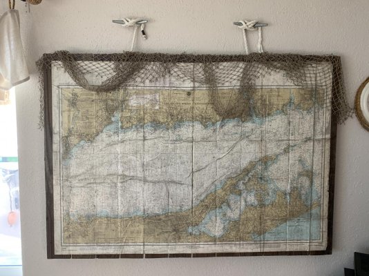
I've got a ton of 20 to 30 year old paper charts that I will never use again. Do you think I should I toss them in a paper recycle bin, or is there a better way to get rid of them?
United States east coast
ChartKit
Block Island RI to the Canadian Border
New York to Nanticket
Florida, East Coast
Florida, West Coast
Canada east coast
charts
Maine to Halifax
4243 Tusket Islands to Cape St Marys
4242 Cape Sable Island to Tusket Islands
4244 Wedgeport and vicinity
4241 Lockeport to Cape Sable
4209 Lockport Harbour and Shelburne Harbour
4240 Liverpool Harbour to Lockport Harbour
4211 Cape LaHave to Liverpool Bay
4384 Pearl Island to Cape LaHave
4381 Mahone Bay
4386 Margaret's Bay
4385 Chebucto Head to Betty Island
4203 Haifax Harbour
4310 Bedford Basin
4245 Yarmouth Harbour
4237 Approaches to Halifax Harbour
4202 Halifax Harbour
Haifax to Bras d'Or Lake
4236 Taylors Head to Shut-In Island
4235 Barren Island to Taylors Head
4234 Country Island to Barren Island
4233 Cape Canso to Country Island
4335 Strait of Canso
4281 Canso Harbour
4374 Red Point to Guyon Island
4376 Louisbourg Harhour
4266 Sydney Harbour
4015 Sydney to Saint Pierre (Newfoundland)
4275 St Peters Bay
4279 Bras d'Or Lake
4278 Great Bras d'Or and St Patricks Channel
4277 Great Bras d'Or, St Andrews Channel and St Anns Bay
United States west coast
Chart Kit
Puget Sound
Canada west coast
charts
Victoria to Tofino
3685 Tofino
3411 Sooke
3671 Barkley Sound
3673 Clayoquot Sound, Tofino Inlet to Millar Channel
3670 Broken Group
3647 Port San Juan and Nitinat Narrows
3646 Plans Barkley Sound
3461 Juan de Fuca Strait, eastern portion
Tofino to Cape Scott
3674 Clayoquot Sound, Millar Channel to Estevan Point
3663 Esperanza Inlet
3682 Kyuquot Sound
3683 Checleset Bay
3680 Brooks Bay
3651 Scouler Entrance and Kyuquot
3664 Nootka Sound
3686 Approaches to Winter Harbour
624 Cape Cook to Cape Scott
Victoria to Campbell River
3463 Strait of Georgia, southern portion
3443 Thetis Island to Nanaimo
3458 Approaches to Nanaimo Harbour
3457 Nanaimo Harbour and Departure Bay
3475 Plans - Stuart Channel
3512 Strait of Georgia, central portion
3513 Strait of Georgia
3527 Baynes Sound
Campbell River to Cape Scott
3538 Desolation Sound and Sutil Channel
3539 Discovery Passage
3559 Malaspina Inlet, Okeover Inet and Lancelot Inlet
3541 Approaches to Toba Inlet
3543 Cordero Channel
3544 Johnstone Strait, Race Passage and Current Passage
3545 Johnstone Strait, Port Neville to Robson Bight
3546 Broughton Strait
3547 Queen Charolette Strait
3548 Queen Charolette Strait, Central Portion
3549 Queen Charolette Strait, Western Portion

