OldDan1943
Guru
- Joined
- Oct 2, 2017
- Messages
- 10,599
- Location
- USA
- Vessel Name
- Kinja
- Vessel Make
- American Tug 34 #116 2008
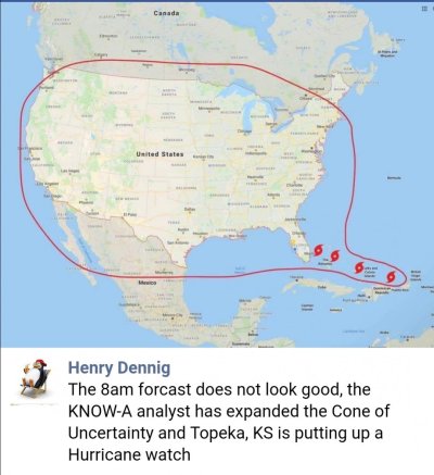
09/02, 6pm, supposed to be off shore and directly E of West Palm Beach, according to My Radar app for Iphone. It does not say how far off shore.