AdkChris
Senior Member
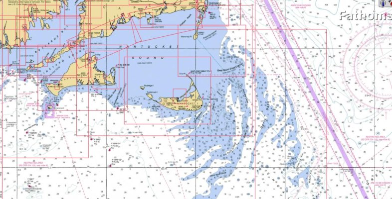
Years ago a friend and I took a Cessna 172 along the south shore of Long Island to Nantucket. The air conditions were smooth but there was a stretch far from land were we could see whitecaps on a current in the water. I assume it was a tidal current funneled over a very shallow sand bar. Made a big impression on me. Looked like it would get your attention in a boat. Now that I am interested in boating it occurs to me to wonder how one would even know to look for such a thing so far from land?