Durant F
Guru
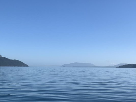
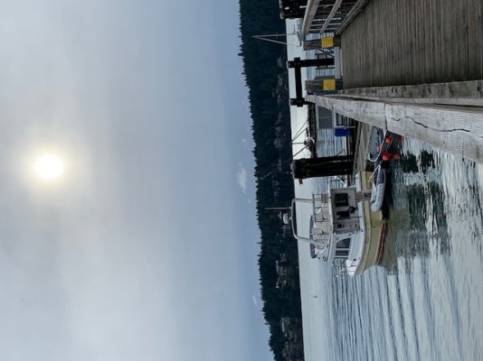
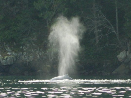
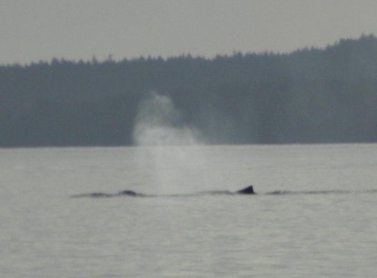
After what can only be described as a “violent” day yesterday weather wise... this was mid afternoon today.
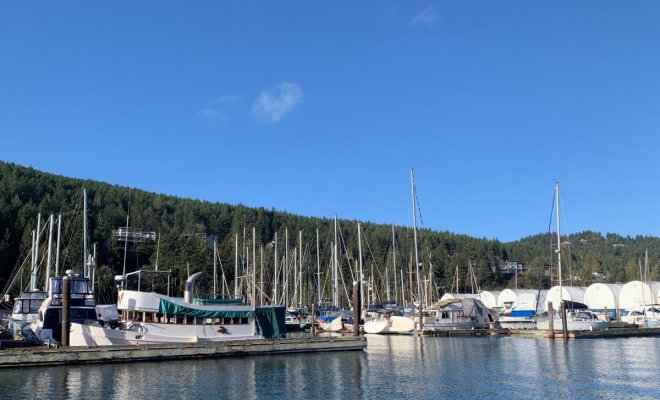
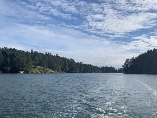
I’m sure we’ve all made Port on a crazy day, thankful to have been in there after the bumpy seas outside, then to wake up the next day to flat calm and wonder “how can that be?”...
That’s weather for ya...
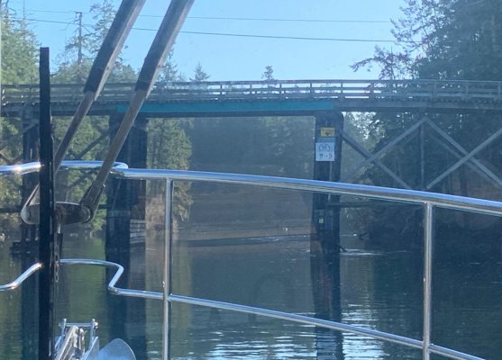
After so many days of no or minimal sun, I was motivated! Washed the entire exterior. Hauled out the dingy and cleaned it and it’s bottom, filled the water tanks and walked over 3 miles.
After so many dull days, sunshine will do that to ya ��
I’m sure we’ve all made Port on a crazy day, thankful to have been in there after the bumpy seas outside, then to wake up the next day to flat calm and wonder “how can that be?”...
That’s weather for ya...
After so many days of no or minimal sun, I was motivated! Washed the entire exterior. Hauled out the dingy and cleaned it and it’s bottom, filled the water tanks and walked over 3 miles.
After so many dull days, sunshine will do that to ya ��
")


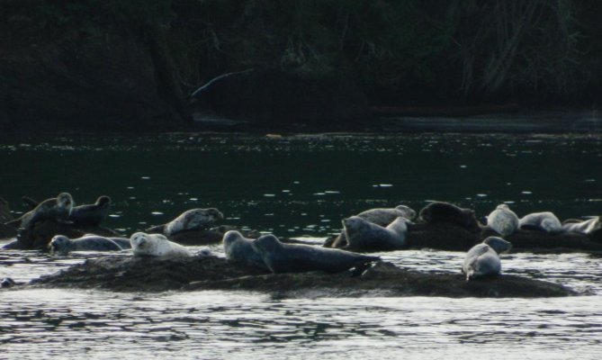


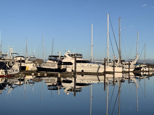
 Well that guarentees a personal introduction anytime soon!! Ketchikan's annual rainfall 2020 was 176 inches. Keeps the riff raf out


 it was unkind of me to consider any as 'Riff Raf'. more the case of rain keeping us Riff Raf in!!!