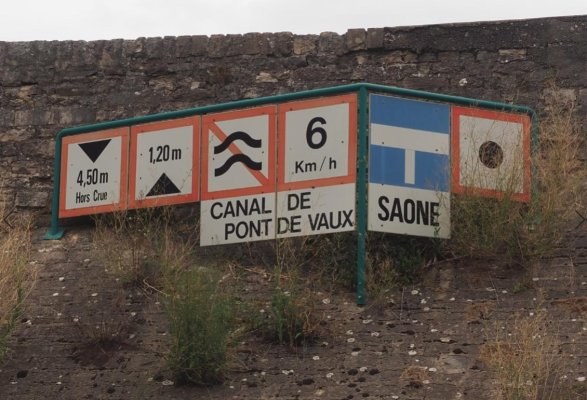
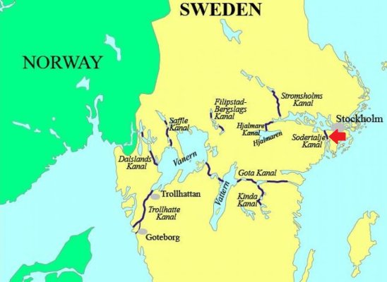
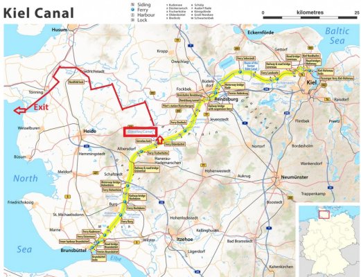
Canal du Centre
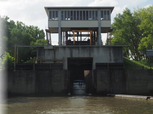
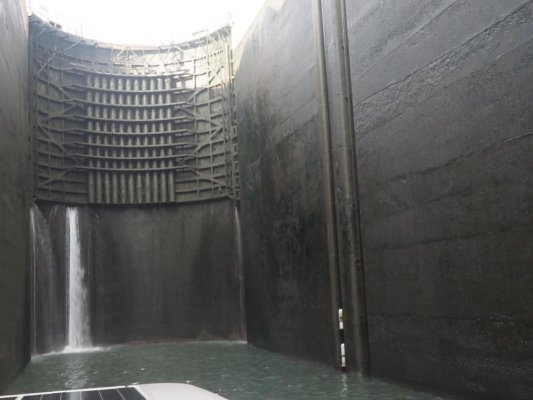
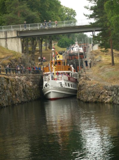
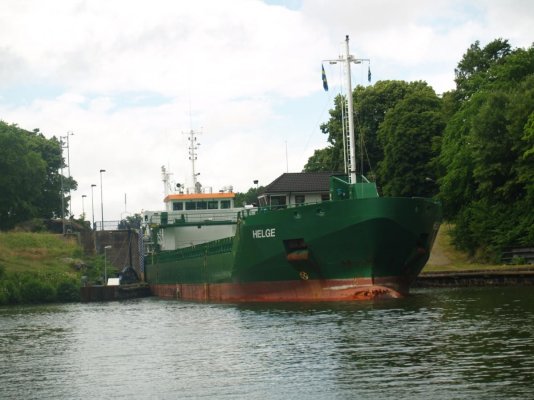
[FONT="]Connecting the Canal Latéral à la Loire to the Saône River is the Canal du Centre. It is about 70 miles long and was first opened to navigation in 1793. Most of today's 61 self-service, electrically powered locks are 126' long x 17' wide. Lifts/Drops are typically 6-10 feet, with the exception of the lock at Chalon-sur-Saône, which has a lift/drop of about 35 feet.[/FONT]
[FONT="]You can read more on Canal du Centre here:[/FONT]
[FONT="]
https://www.french-waterways.com/waterways/central/canal-centre/#fw-tab-content-0-0[/FONT]
[FONT="]During our 2019 trip, this fairly short canal was actually quite a challenge for us for a number of reasons:[/FONT]
[FONT="]
[/FONT]
[FONT="]1) [/FONT][FONT="]Due to drought and days of excessive heat (100-110 degree F), the canal authority was unable to maintain the published depth of ~6 feet. Our boat takes 3 feet and we found ourselves bumping along the bottom on a number of occasions. We have fixed stabilizing fins on the bottom which extend well below the prop, so fortunately, the prop never came into contact with anything.[/FONT]
[FONT="]
[/FONT]
[FONT="]2) [/FONT][FONT="]Just before entering this canal in early August, we learned that it was going to be closed FOR THE SEASON in 3 days. If we didn’t get through this canal in three days, we would have been stuck here over the winter. The reason for this closure is related to the first point above – the water reservoirs for operating the canal were about to run dry. Even though the locks are self-service, they only operate approximately 08:00-18:00 every day. As such, each day was a race to knock off as much distance and as many locks as possible. In the end, we made it to the Saône River in 2.5 days. We set a record for ourselves of 32 locks in a single day.[/FONT]
[FONT="]
[/FONT]
[FONT="]3) [/FONT][FONT="]In trying to get through the canal in record time, so as not to get trapped, roving canal staff were helpful. They let us operate through the lunch period (when locks are normally closed), they were "loose" with the operating hours here and there, they turned a blind eye to obvious “stretching” of the speed limit (~3 knots) and they tried to manage traffic so as to minimize wait times for us. We found that trying to go ~5 knots in a narrow canal with insufficient water is nearly an exercise in futility due to the significant hydrodynamics at play (“Squat effect”).
[/FONT]
[FONT="]
[/FONT]
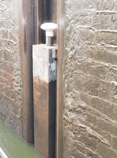
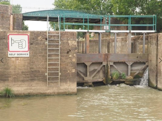
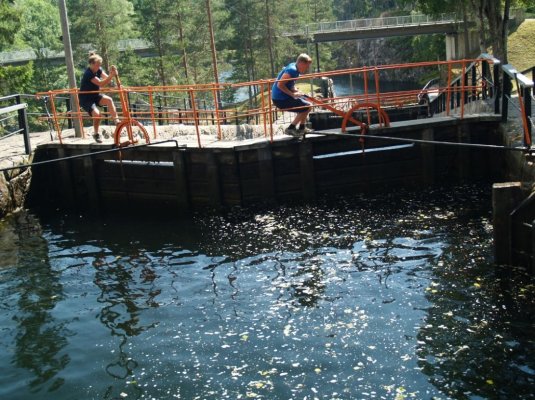
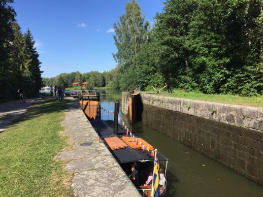
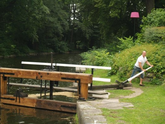
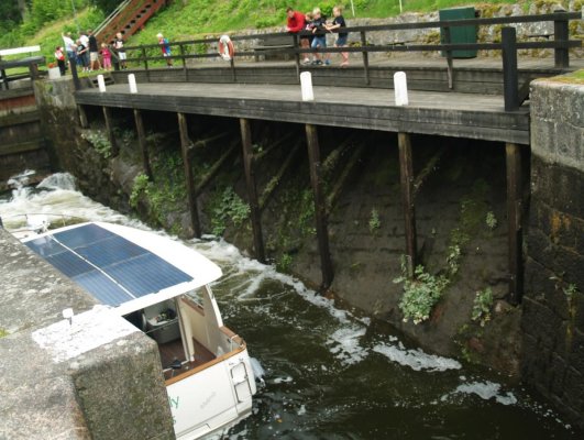
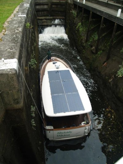
[FONT="]4) Many of the locks had floating bollards, which are always nice. BUT one must stand by and monitor closely, as they cannot always be trusted. We had one get stuck while descending in one of these locks and had to use the emergency knife -- for the first time, ever!
[/FONT]
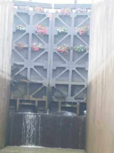
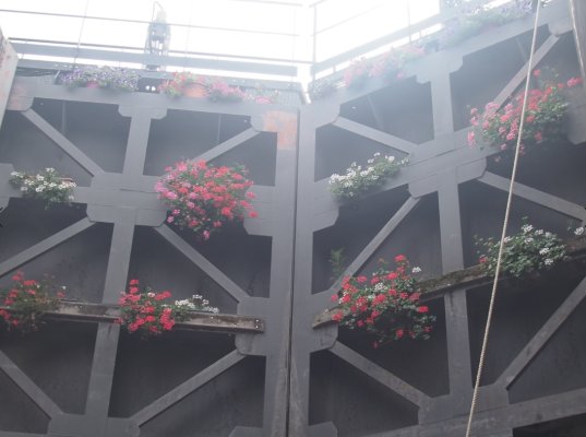
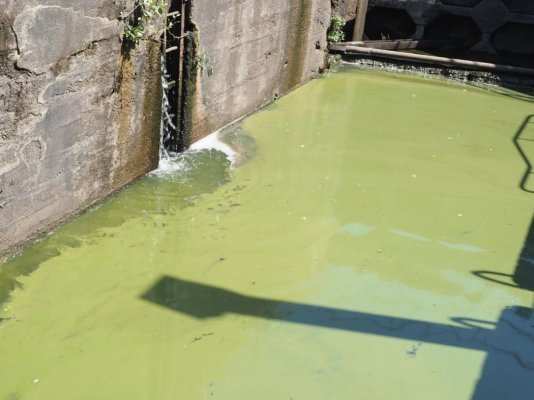
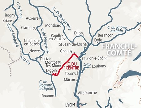
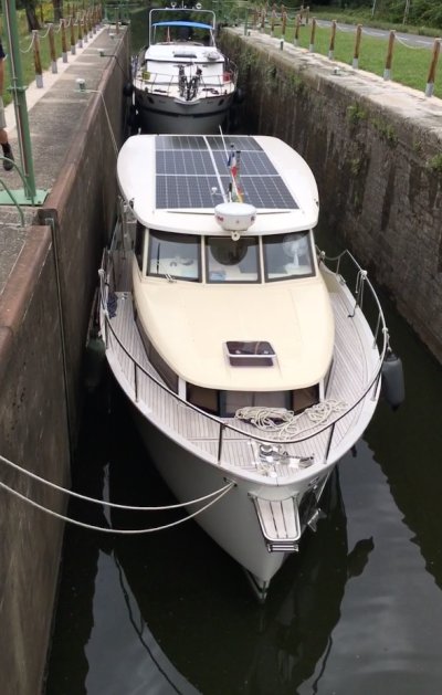
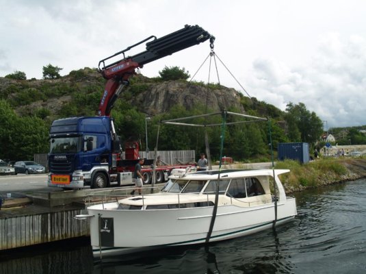
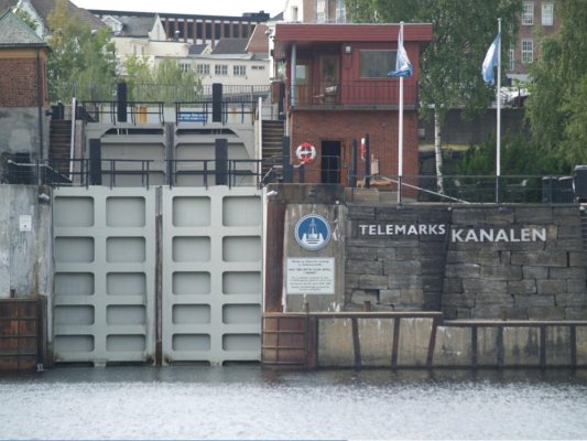
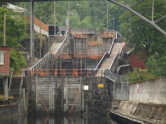
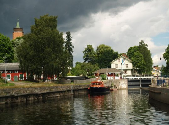
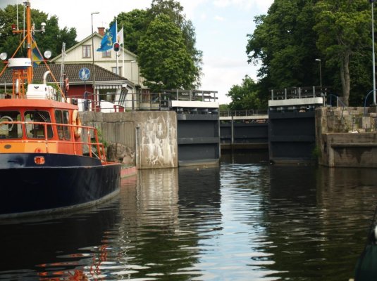
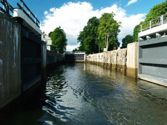
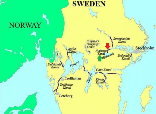
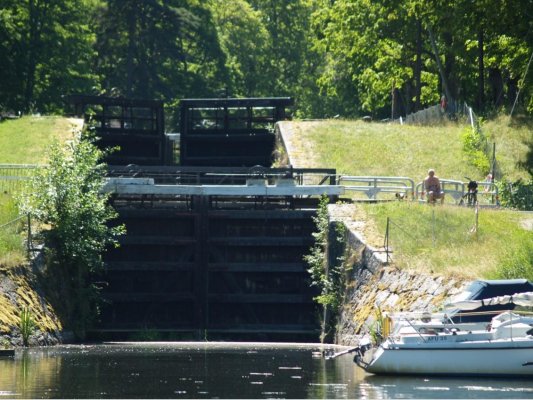
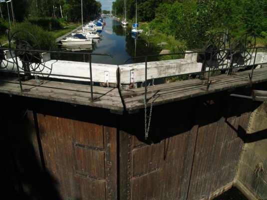
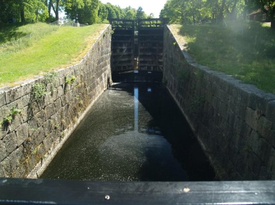
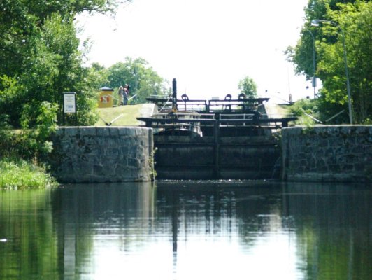
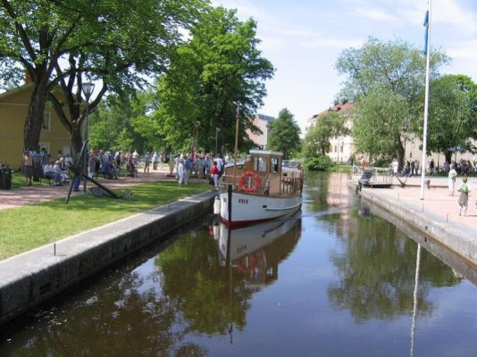
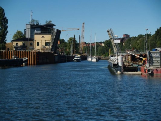
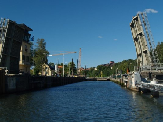
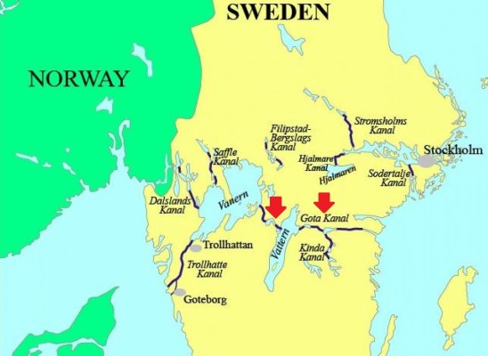
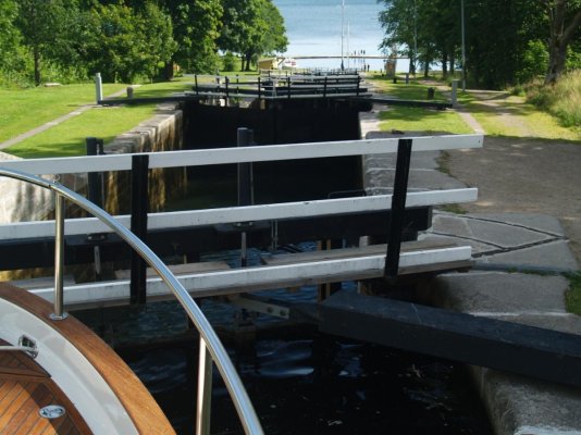
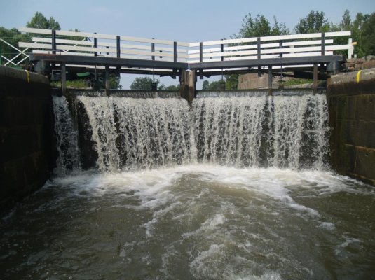
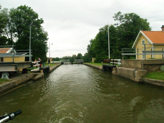
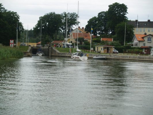
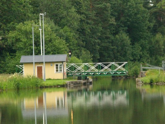
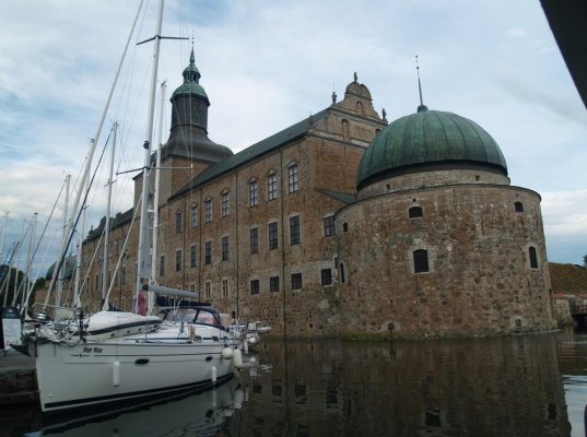
Explanation of pictures below:
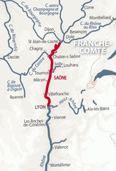
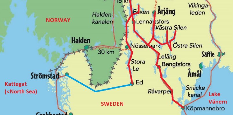
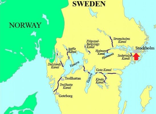
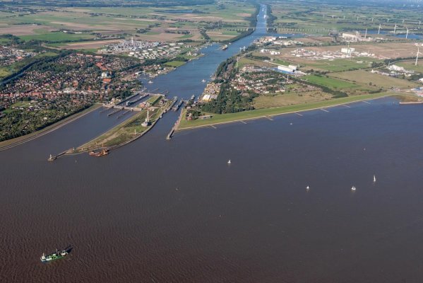
1) Map of Canal du Centre
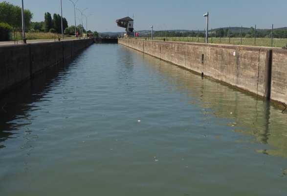
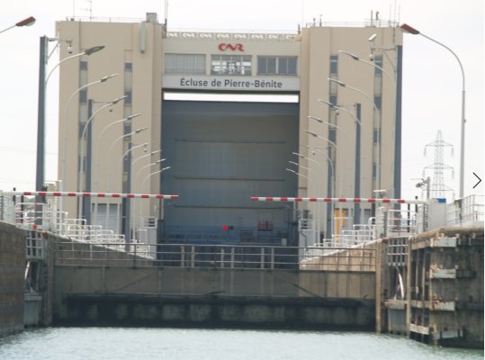
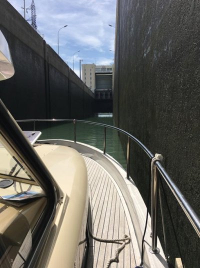
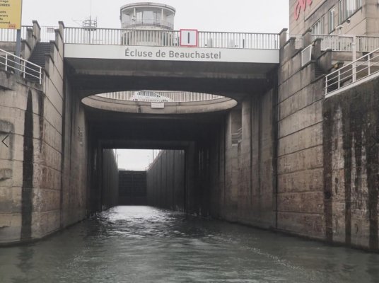
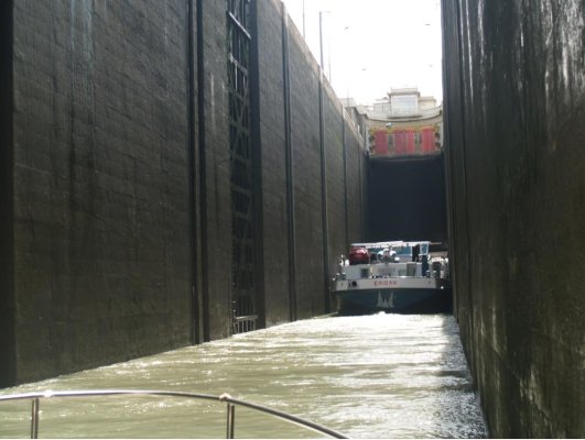
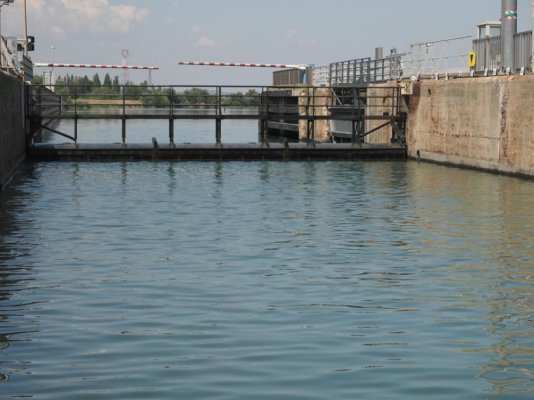
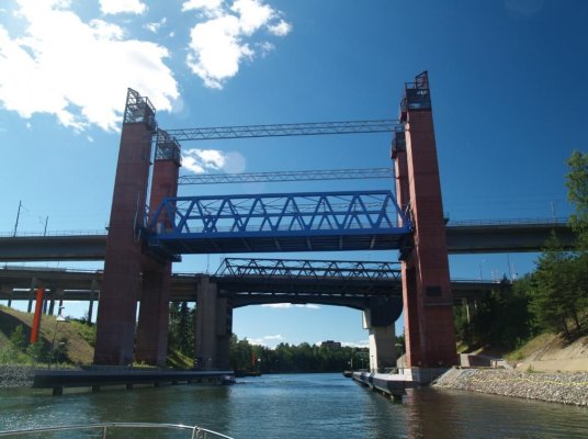
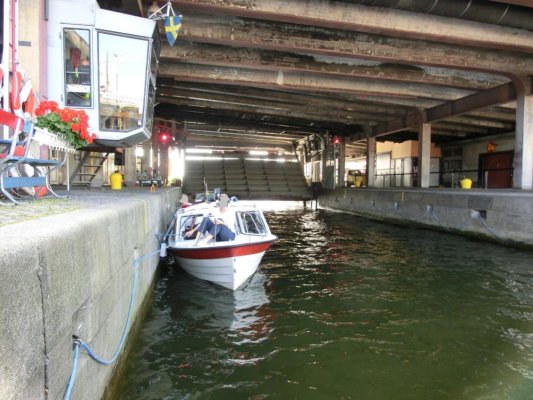
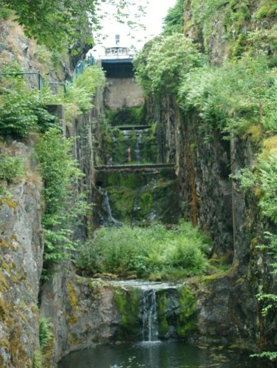
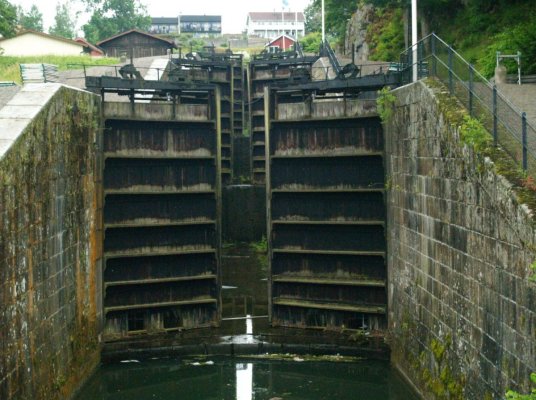
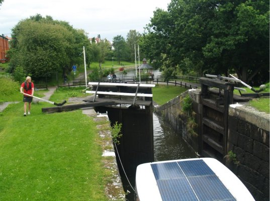
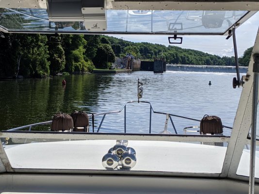
2) In one of the locks
3) The floating bollard that misbehaved
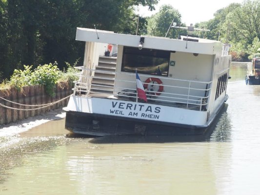
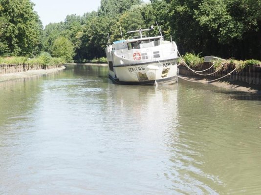
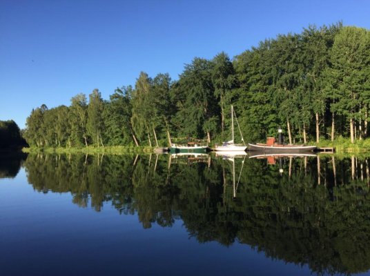
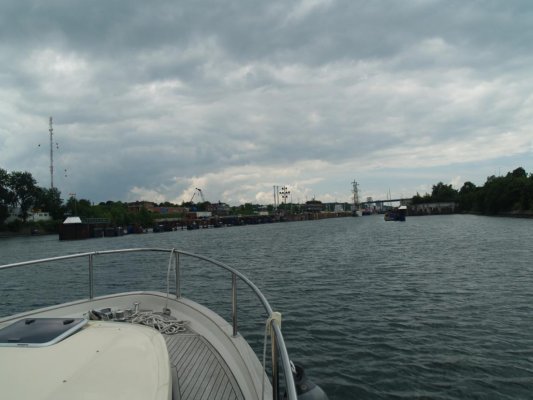
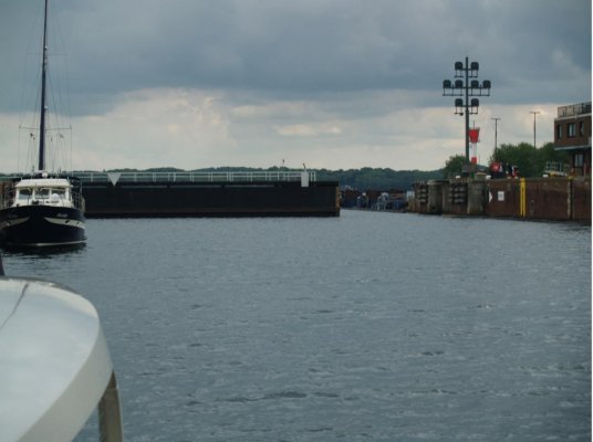
4) A Dutch canal boat stranded due to lack of water
5) A Dutch canal boat stranded due to lack of water
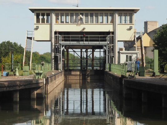
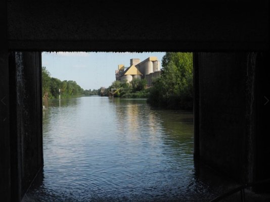
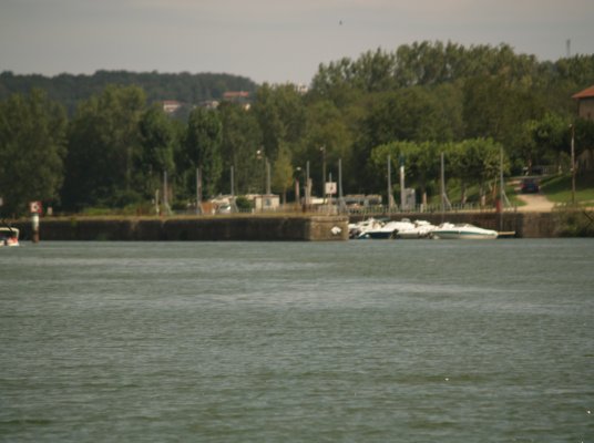
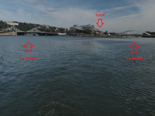
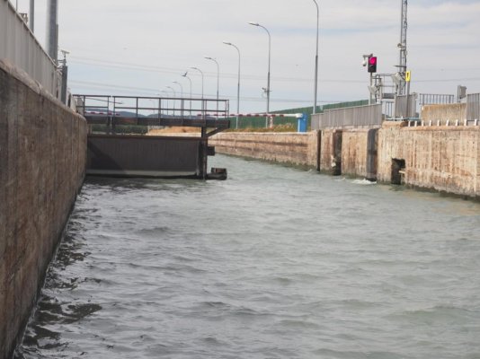
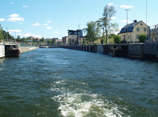
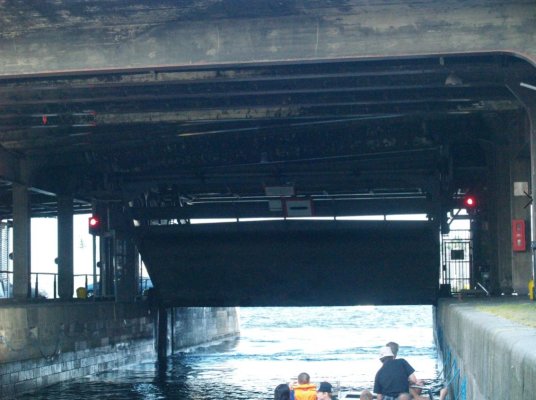
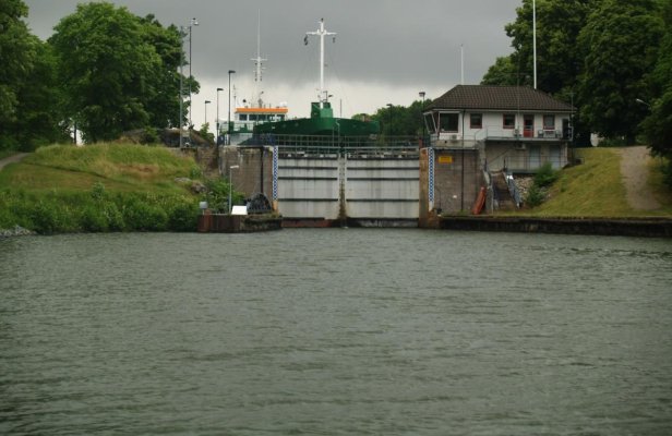
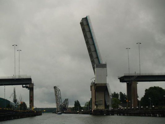
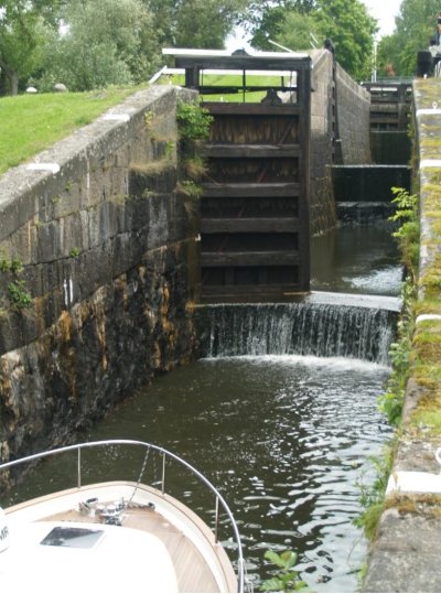
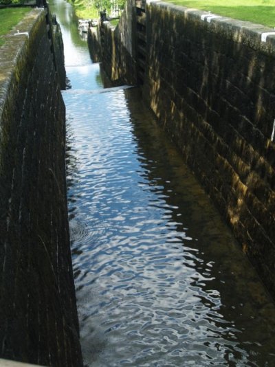
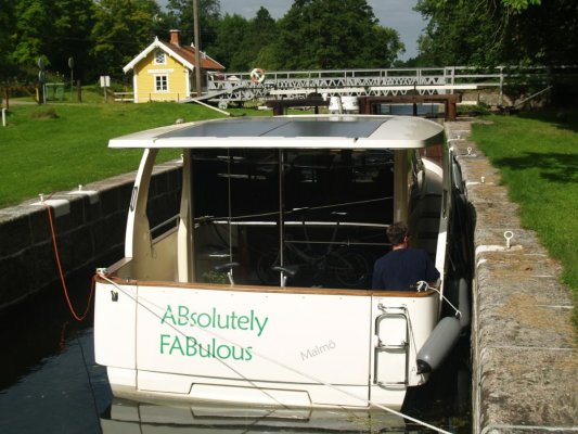
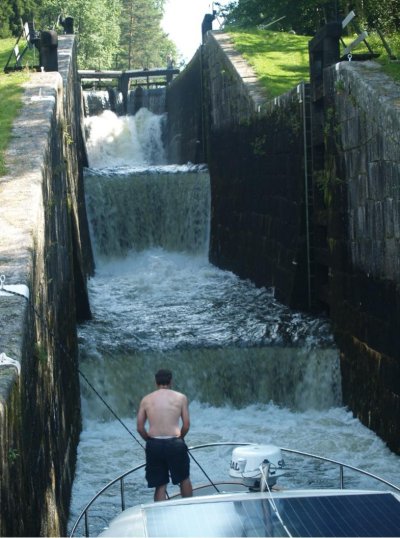
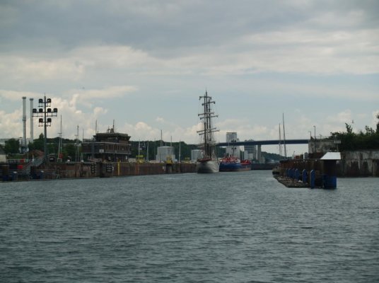
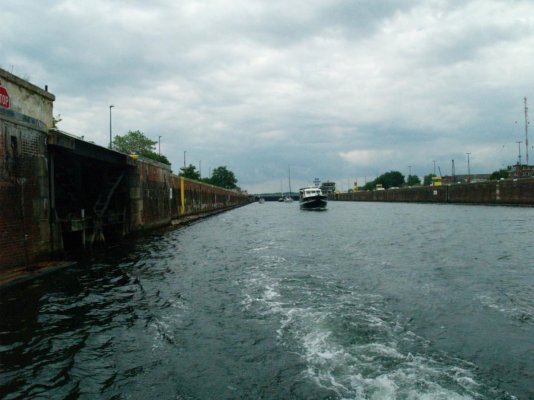
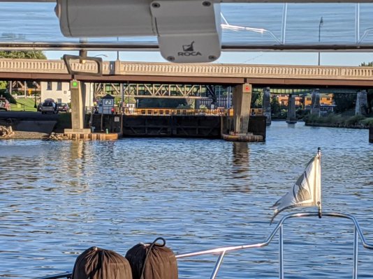
6) Entering the final lock at Chalon
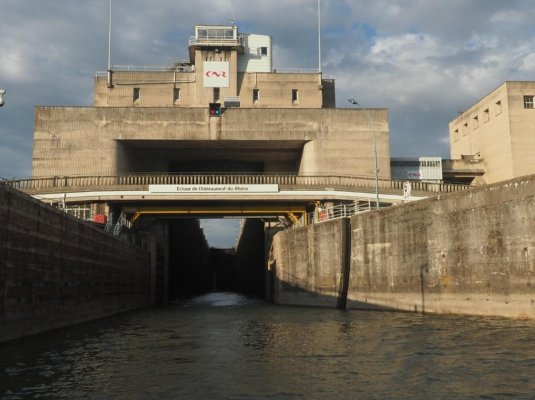
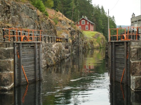
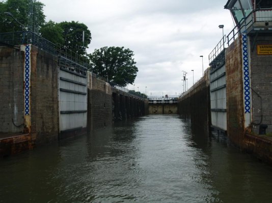
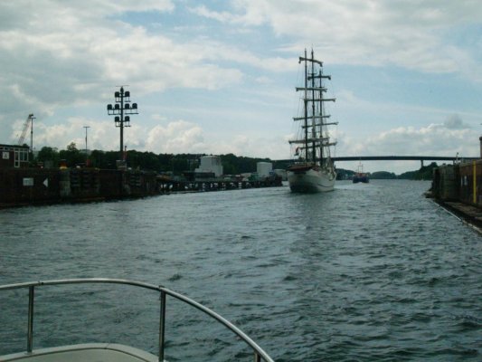
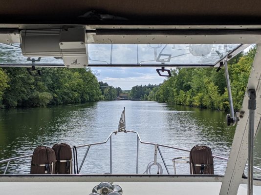
7) Exiting the Chalon lock, heading to the Saône River
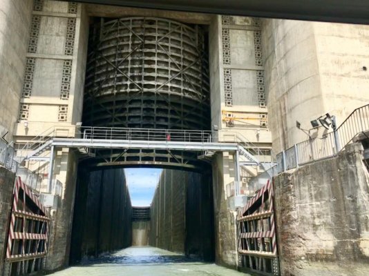
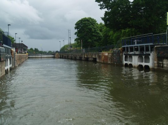
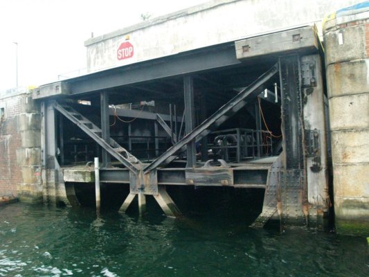
8) Looking back at the Chalon lock