BrianG
Senior Member
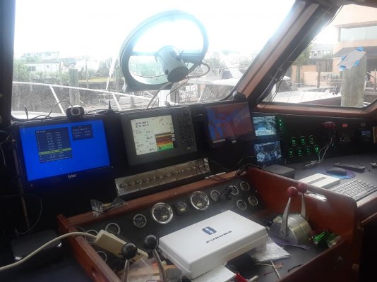
I want to cruise the channel islands and need a user friendly software solution. My idea is pair the onboard gps and AIS receiver from a Standard Horizon 2200 VHF mated to either a laptop or tablet. My steering station is enclosed from weather.
-What nav software is considered the most user friendly?
-Do any of these endless nav softwares have strong system requirements?
-Apple OS won't happen for me, Droid or Windows? probably won't go Linux
-Can I run all this off my exiting VHF antenna?
-Any recommendations for minimum CPU?
-Recommendations for a particular model? I would want at least 11" of screen real estate.