Fletcher500
Guru
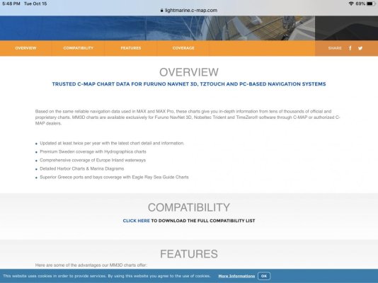
I have used Simrad and Raymarine on past boats, so my experience with the Furono gear on this boat has only been over the past 15 months. Very happy with the Furono electronics, but find the Furono Nav Net cartography on the chart plotter is ok, but not great.
Side note: I use the Navionics App on a large IPad, and find it to be very helpful as a supplement to the Main display.
In regards to replacing the Furono Nav Net charts for the main chart plotter, I am Looking for opinions on C Map vs. Navionics?
Side note: I use the Navionics App on a large IPad, and find it to be very helpful as a supplement to the Main display.
In regards to replacing the Furono Nav Net charts for the main chart plotter, I am Looking for opinions on C Map vs. Navionics?