OP
OP
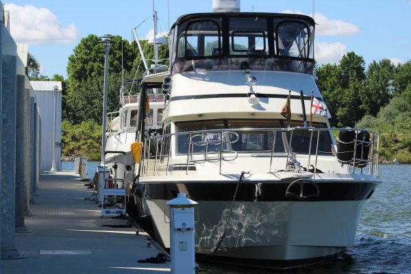
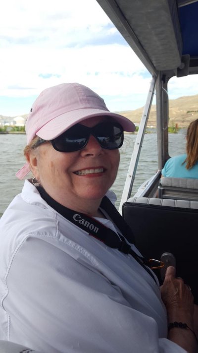
Alaskan Sea-Duction
Guru
- Joined
- Jul 6, 2012
- Messages
- 8,058
- Location
- USA
- Vessel Name
- Alaskan Sea-Duction
- Vessel Make
- 1988 M/Y Camargue YachtFisher
Weather Hold
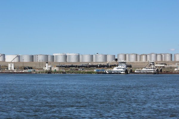
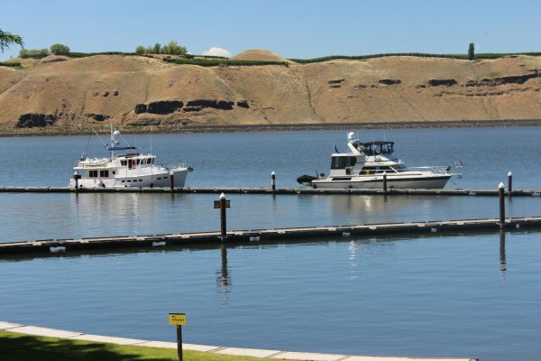
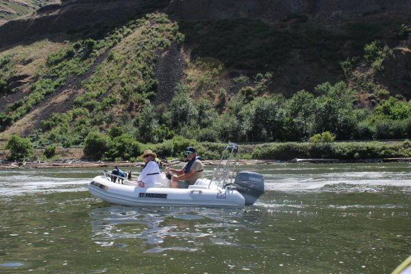
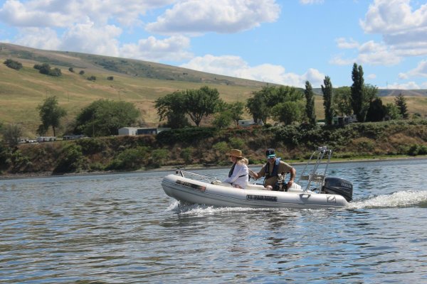
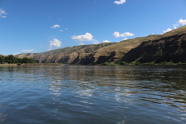
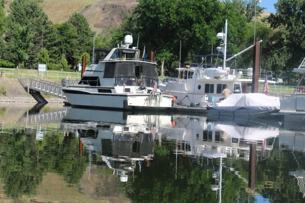
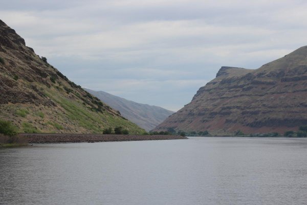
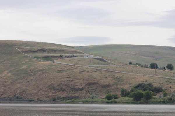
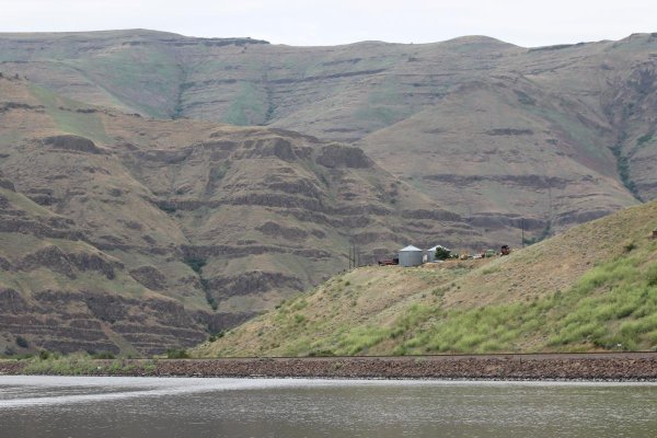
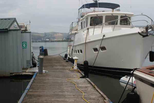
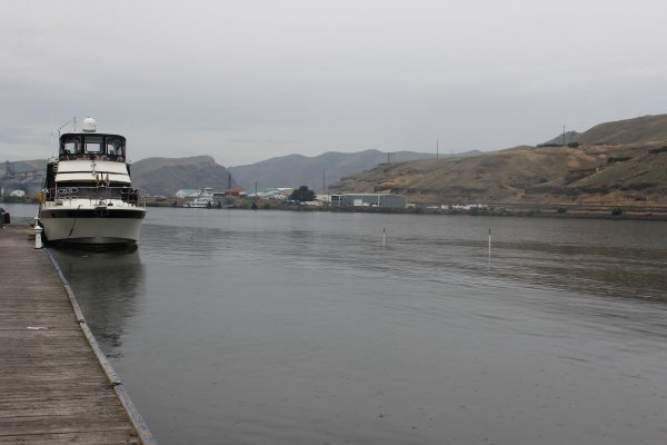
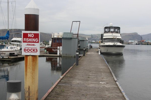
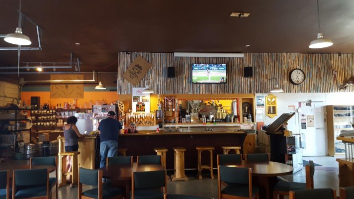
Pairadice and ASD are in Kennewick WA on a weather hold until tomorrow. Storm blew in from the coast. Lots of rain on the coast, lots of wind here about 20kts+. The winds are subsiding later today and be nice tomorrow.
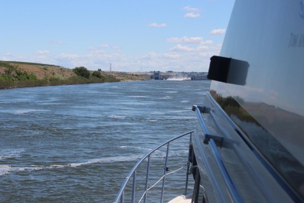
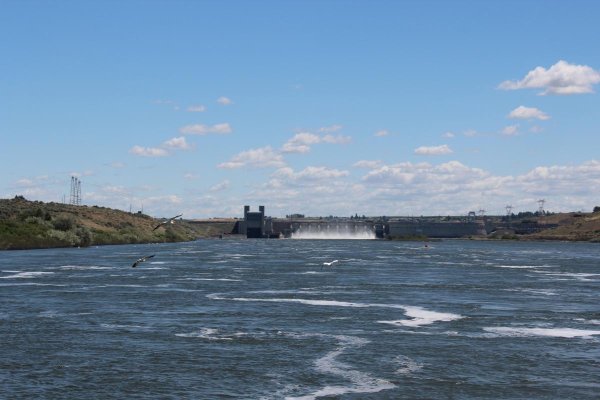
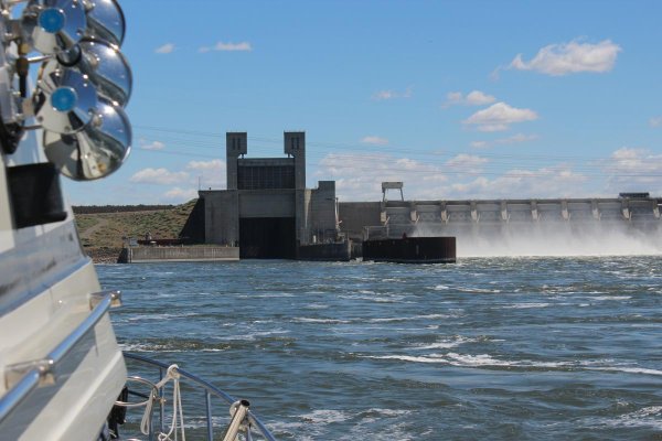
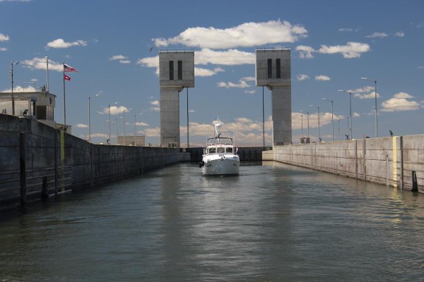
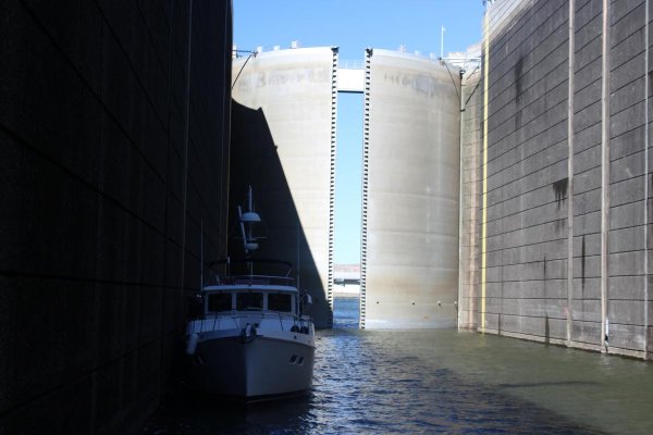
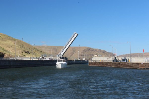
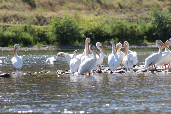
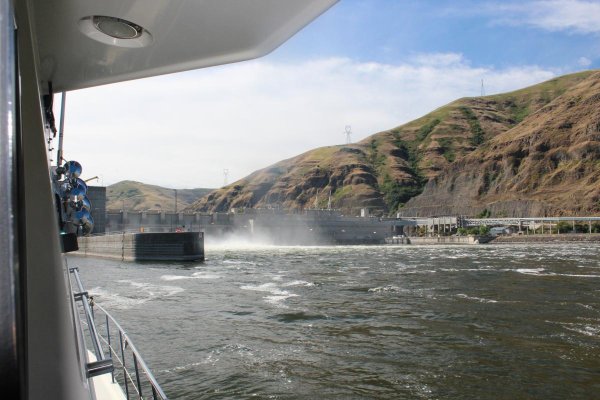
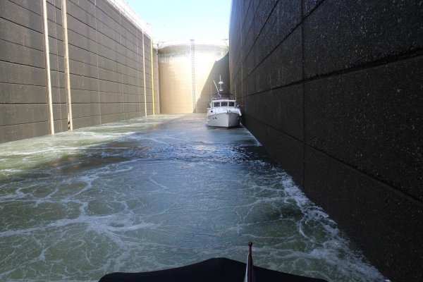
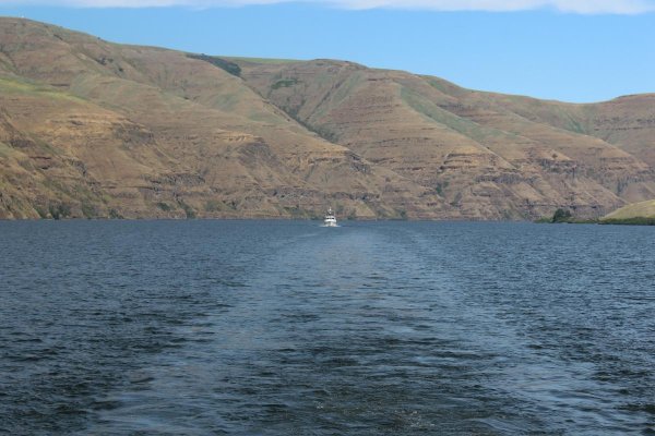
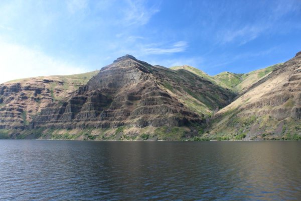
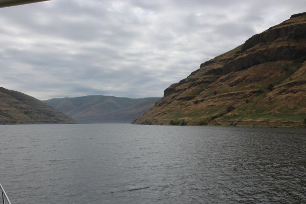
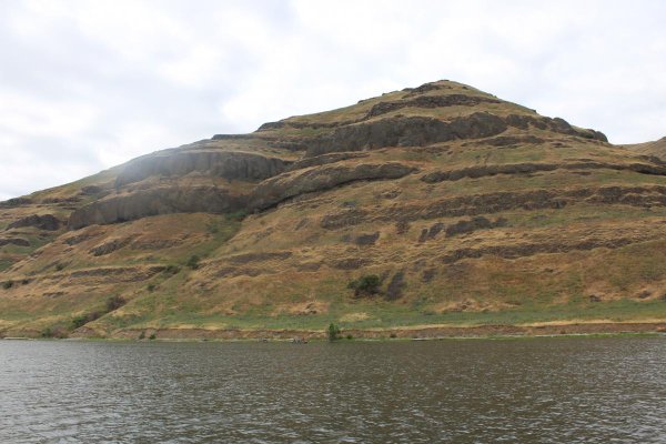
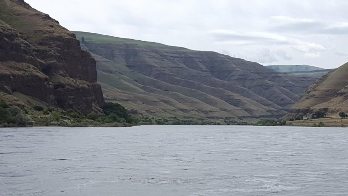
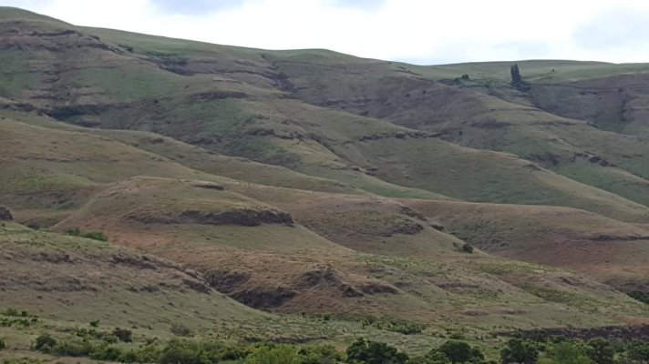
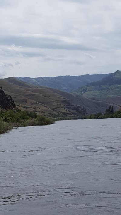
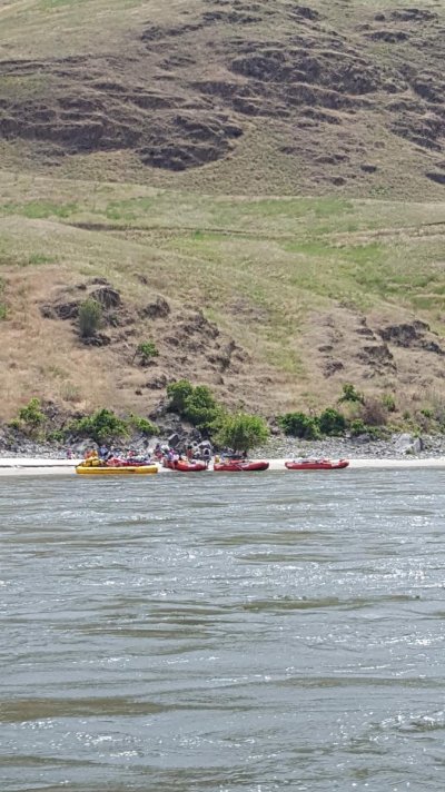
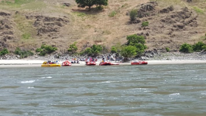
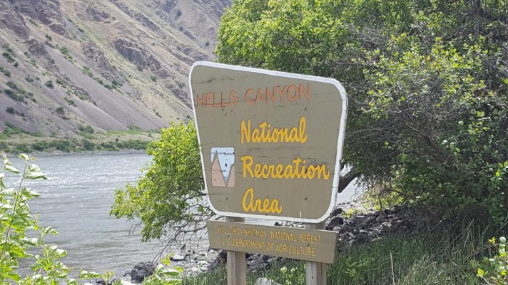
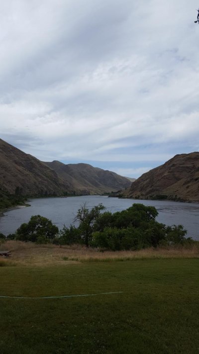
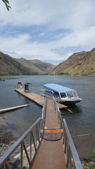
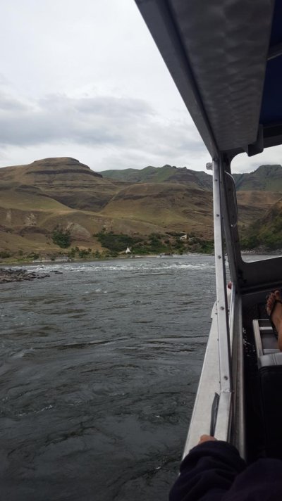
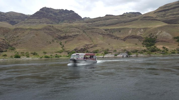
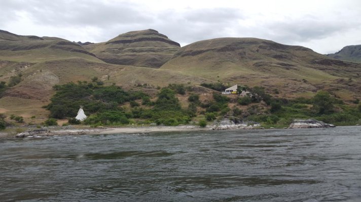
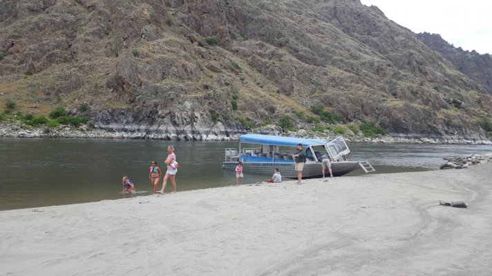
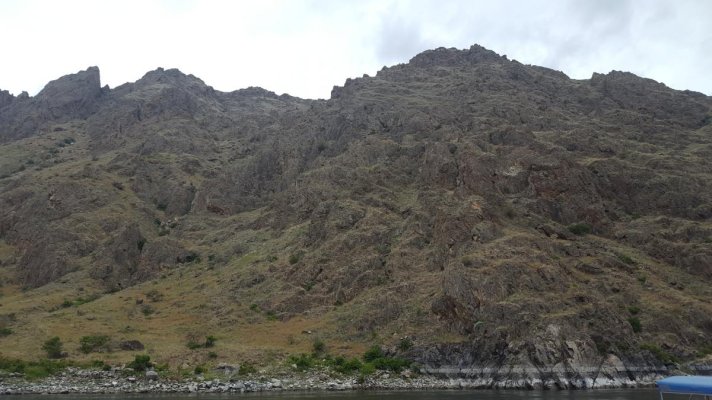
From our current location the trip to Lewiston ID is 128.5 miles, locking 4 dams. It will take 4 days to reach Lewiston, but we will most likely spend a few days here and there. Travel each day will be around a 30 miles or so.
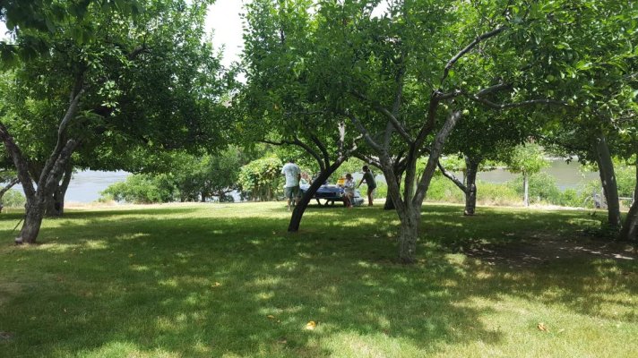
We will spend a week or so in Lewiston then start the journey back to the lower Columbia River.
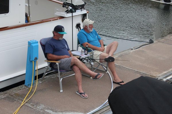
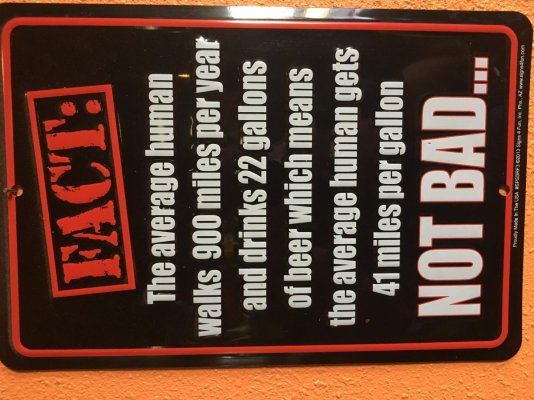
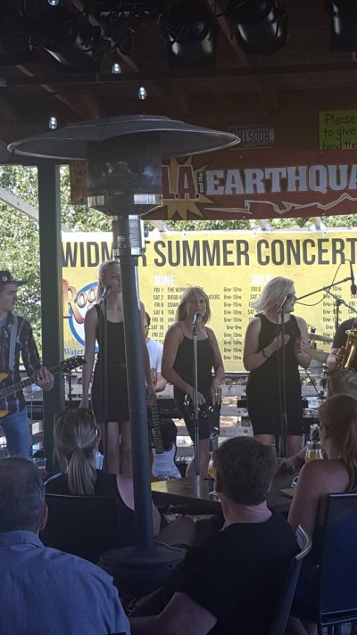
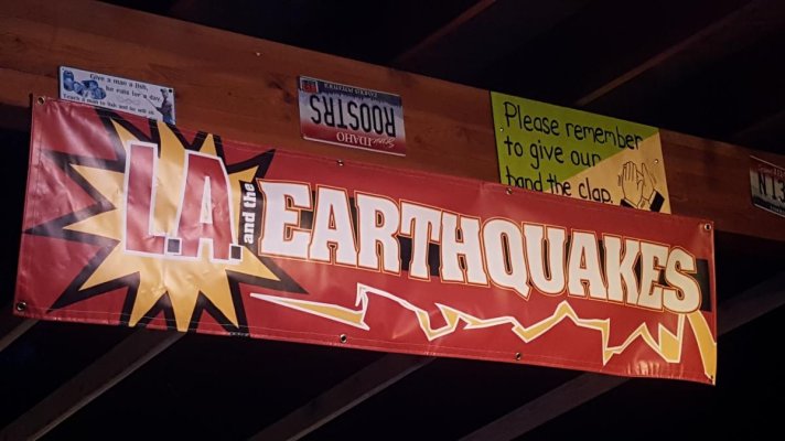
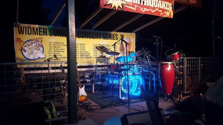
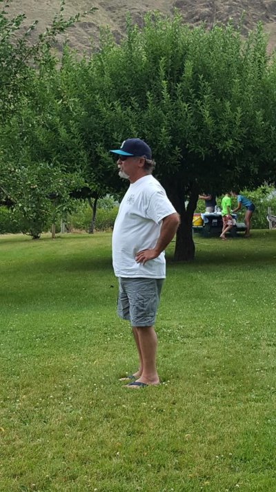
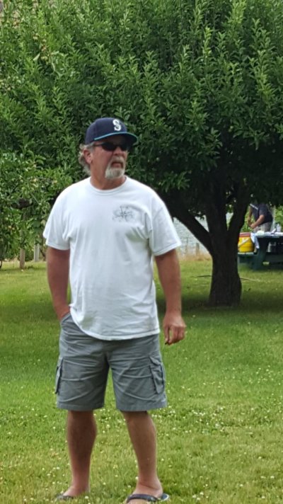
Living the life my friends....
Pairadice and ASD are in Kennewick WA on a weather hold until tomorrow. Storm blew in from the coast. Lots of rain on the coast, lots of wind here about 20kts+. The winds are subsiding later today and be nice tomorrow.
From our current location the trip to Lewiston ID is 128.5 miles, locking 4 dams. It will take 4 days to reach Lewiston, but we will most likely spend a few days here and there. Travel each day will be around a 30 miles or so.
We will spend a week or so in Lewiston then start the journey back to the lower Columbia River.
Living the life my friends....