twistedtree
Guru
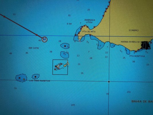
We recently completed a run from San Diego to La Paz Mexico, including a little bit of cruising north of La Paz. Prior to departure, I updated my C-map charts of the area to the latest and greatest.
But they totally suck, and are generally unfit for navigation. Some parts are accurate, but many are not, so you need to assume everything is wrong until otherwise confirmed to be at least somewhat accurate. I also have Navioncs charts on my iPad, and they are better, but still quite poor.
Has anyone found quality electronic charts of Mexico? I would want to use them on Coastal Explorer, and it will accept all the standard electronic chart formats, plus of course the C-map proprietary charts which aren't worth anything.
") .
.