bshanafelt
Senior Member
- Joined
- Oct 6, 2007
- Messages
- 427
- Vessel Name
- Isobel K
- Vessel Make
- 37' Custom Pilothouse
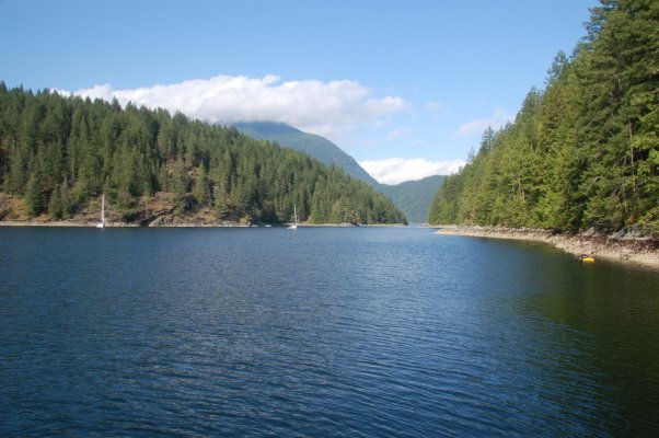
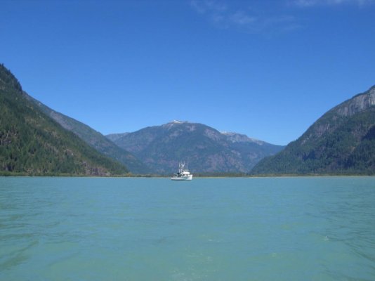
We will be heading directly to the Broughton's this year. Plan to spend 4+ weeks poking about the area. Should be there around July 5 or so.
Hope to pull in a nice size halibut or 2, see bears etc. With luck, might even get a day or two without rain.
Will also spend 10 days in Desolation on the way back in Aug.
Hope to pull in a nice size halibut or 2, see bears etc. With luck, might even get a day or two without rain.
Will also spend 10 days in Desolation on the way back in Aug.
")