River currents - where is all the water going?

The friendliest place on the web for anyone who enjoys boating.
If you have answers, please help by responding to the unanswered posts.

Wdeertz

Senior Member
Joined
Jul 3, 2018
Messages
321
Location
USA
Vessel Name
Bagus
Vessel Make
Kadey Krogen 52-01
I was recently traversing the St Johns River in downtown Jacksonville and looking at the currents graph and noticed that the inbound current cycle is longer than the outbound cycle. I could rationalize this if the outbound currents were significantly stronger than the inbound currents but that didn’t appear to be the case. Where is all the inbound current going such that the outbound current is short and not significantly more in speed than the incoming? Is the inbound current being dissipated in the surrounding grounds? I understand the moon phase could influence this but it seemed consistent that the inbound current duration/speed was signicantly longer/bigger than the outbound.

See attached current graph. I tried to google this but couldn’t find a succinct explanation. Thanks
 

Attachments

  • 648F106C-535C-4CB3-9C7E-2EA6070B5B52.jpg
    648F106C-535C-4CB3-9C7E-2EA6070B5B52.jpg
    198.9 KB · Views: 33
Just a guess but it seems logical...
Location of the sensor may play a large part in the difference.
Flow past one point can't accurately represent the total flow of a cross- section of the river. The complicating factor is the flow of that cross- section is likely different for the reverse direction due to upstream & downstream contours & curves.
The (a) river isnt a uniform size pipe. If the sensor is close to the mouth I can image an impact from the "capacitance" or storage factor upstream vs downstream. Our tides change on a predictable schedule and close to the mouth tide shift likely a controller of the inflow. How much water I stored upstream in shallows and how quickly/ slowly it can drain likely affects the outflow and as long as the river level is higher than the incoming tide it could affect the timing of the reversal at any given location.
Just a theory?
 
Don, thanks for the reply. The location I was looking at is at a winding part of the river so this undoubtedly has some effect on the currents. I did look at a few more current locations near the St Johns inlet and “eyeballing” it the inbound and outbound currents look about equal which is sort of what I expected. There are about 3-4 current stations near downtown Jacksonville and almost universally all of them show significantly more inbound currents than outbound. Maybe that point in the river is a choke point. There is a significant amount of water upstream so maybe between evaporation and feeding the tributaries that’s where the extra inbound water is going?
 
For an educated answers you you might contact your local NationalvWeather Service office. They frequently have a hydrologist on staff that would provide the correct answer. I have dealt with our local NWS office and found them anxious to help educate the public. They have hosted our USPS / ABC Wx classes and the field trip is always a hit with students. We are inland so no tides to contend with.
 
Where the St. Johns River passes through downtown Jacksonville a number of factors affect the current. 1) The river narrows significantly, which constricts the flow and increases the velocity. 2) At Commodore's Point (just below the Hart fixed bridge), not only does the river widen, but the dredged Federal channel begins its path to the ocean. That means that as water is released from the narrows, it enters the downstream section of the river with little resistance. 3) Upstream of the downtown narrows, the river also widens, but its depths are considerably shallower than at any points downriver. The result is that the force of the inbound current is pushing against the weight of a slower-moving pool, and spreads across a much broader basin.

In other words, there is a significant differential between the hydrogeology of the two sections of the river at either end of the downtown narrows. Of course, variables come into play, such as significant rainfall events, prevailing winds and lunar phases.

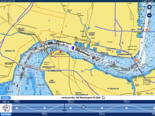
By the way, until the U.S. Army Corps of Engineers built jetties at the St. Johns River entrance and dredged a Federal channel all the way up to Commodore's Point, soundings in the downtown narrows never exceeded 30', according to 19th century charts. Today, as you can see, depths upwards of 70' can be observed around the Main Street Bridge. The reason is the significantly increased river flow over the past century-plus, which increased water velocity through the narrows, which has tended to scour the soft bottom and resulted in deepening without dredging. The dynamics are the same as the "natural" deepening that began at the river entrance in the 1880s, as soon as the jetties were built.

Boaters who are unfamiliar with the downtown section of the SJR and who transit at times of maximum flow can be taken by surprise at what seems like its sudden burst of energy. Back in the days when ocean-going ships sailed from wharves perpendicular to the north and south banks of the downtown riverfront, docking pilots and tugs had their hands full, and planned maneuvers to take place at slack current if at all possible.
 
Last edited:
Blissboat, thanks for the explanation. Yes the currents can rip through that downtown section pretty good. I generally try to dock at the city dock at slack tide due to the strong currents in that section of the river.
 

Latest posts

Back
Top Bottom