Well, in that case... MurrayM you linked earlier to some photos of our boat, Skookum Maru. She's a great boat for sure. The perfect Salish cruiser, if you like slow wooden boats that is. More info here if anyone is interested:
Skookum Maru
I know she's been featured before as her previous owner is a TF member, so she may be familiar to some.
But back to Norwester for a moment. There is more recent information on a Facebook post on the Wooden Boat Form group that I made right after it happened. I'll try to link to it but it may not be visible to anyone who is not a member of that group. However there has been quite a bit of discussion on it, including posts from some of the people involved in the salvage effort.
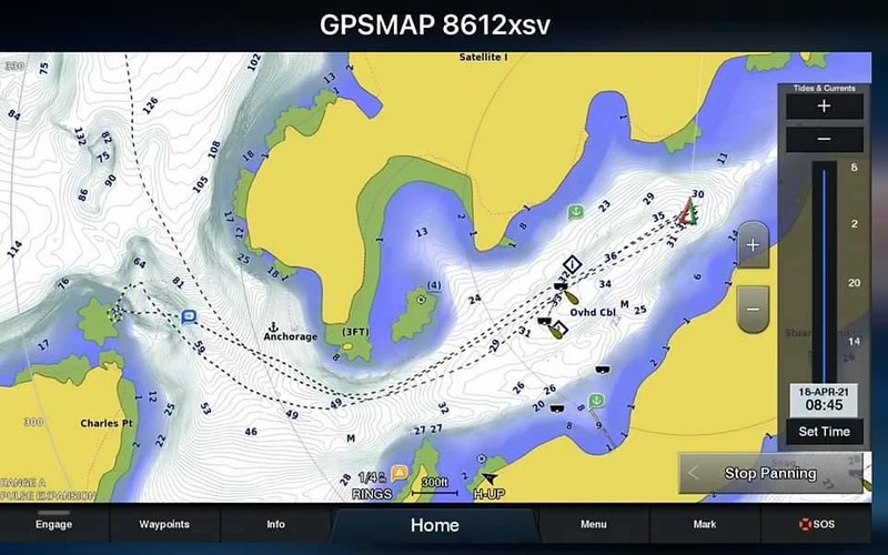
One thing worth noting is that one of the owners mentioned that they had updated their electronic charts the day before and the update did not show the rock that they hit. It's clearly shown on paper charts and shows up on both the vector and raster charts that I checked, but if it really is missing then that's a significant concern. And it also calls out the importance of local knowledge and/or multiple sources for piloting and chart information in this area. There are many, many places to go aground.
Which reminds me of a useful chart of the San Juans that I got from the Port of Friday Harbor a few years ago. It's not at all detailed and you would never use it for navigation, but it shows the "11 Frequently Hit Rocks or Reefs in the San Juans". And sure enough, "Prevost Harbor Reefs" are called out. No substitute for a good chart well-studied of course, but still everyone cruising this area should have a copy by the helm.