Adopo
Guru
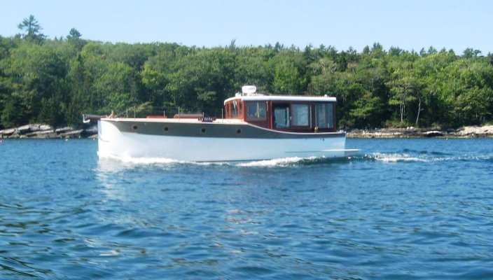
So, I just purchased a very cool little pocket trawler. Although it is the same model I just sold it is quite an upgrade-Fairchild Scout 30.
The cruise from Brooklin Boatyard to Hinckley at Southwest Harbor was so nice, that I am thinking of driving it down to Charleston. That got me thinking.
Is there a program or software out there that helps you navigate that offers the following:
1-Works sort of like google maps or any other map program that will chart distance using known navigation routes, kind of like roads?
2-That will provide potential marinas to dock at based on a preset input, say you want to travel 60 to 75 miles per day?
This option would allow you to drill down deeper, for instance utilizing a star rating system for the higher ranked marinas, accommodations, and restaurants.
Fuel prices and other fees would also be provided real time in addition to known hazards, tide charts, and other notes.
3-Overlay with weather charts and future forecast
In other words, anything you might need to make the trip, and planning easy. We are pilots, so I am looking at this like Skyvector, Foreflight, or some other program but even more. I am sure this must be out there, but pointing me in the right direction will be helpful.


")

