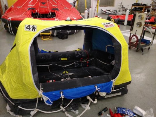
The vents came off of Ebay Mako. I put in some search parameters and had emails sent to me when the parameters were found. Those are six inch vents ( the size of the pipe ), and as I recall, it took a few months of watching to find them.
I was really not to clear on how we used the plotter to steer. I have a Garmin unit with a 12" screen and everything can lay over...chart/radar/sonar. I laid the course bearing with the plotter, then switched screens and used the radar screen to maintain the heading. Because everything overlays, the bearing line is on the radar screen, so to steer, we'd watch the radar heading line move, and adjust the helm to try to keep the heading line on top of the bearing line...pretty fatiguing. All needed information is also on the radar screen such as right or left distance off course , magnetic bearing, magnetic heading, speed and depth, distance to next turn, and arrival time.
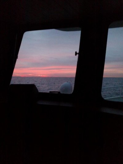
When we first cleared the buoy out of the East pass, we were steering by adjusting to the course line on the plotter screen, trying to keep it straight up, and not really paying too much attention to the boat icon on the screen. For me, there's too much clutter on the plotter screen once off shore, so using just the radar screen seemed more fitting for off shore. The radar was set for 36 miles, and throughout the night we saw a couple of targets such as some shrimp boats, and a few charted towers along the course. For me it was fun seeing the targets first appear on the radar screen, then slowly get closer to where could tell, on one instance, that they were shrimp boats as we could see their lights by eye, and using the binoculars, we could see the lit up rigging.
For me being a total rookie at this type of boating,steering by using the radar screen and staying close to my course line was my primary purpose in life on this particular day. When I was steering I'd keep the boat plus or minus 50' off the course line, when bud "A" was steering, he'd keep it +/- 500' off the course line, and when bud " B" was steering, we were lucky if he'd keep it at 1/4 of a mile. When bud "B" would take over the helm, you could instantly watch the arrival time begin to fade as he had a hard time keeping things straight and the boat would zig zag. Within 1/2 an hour of bud "B" taking the helm, the arrival time might be three hours later than it should be proving that the shortest distance between two points is a straight line. Bud "B" was sort of taken out of the steering rotation, and although he did steer some, he had a hard time with it especially at night.
With the long deep keel and heavy duty steering system, once the seas calmed down, the helmsman could let go of the wheel for maybe 30 seconds or so with only a slight touch needed for corrections.
If I had a few more passages under my belt, I might have felt just as comfortable using the magnetic steering compass I have on the helm. The magnetic compass seemed to be off a degree or two as compared to the compass on the GPS, and that slight deviation was noted when we were under way. It's hard to say just how far off it could be, and I need to have someone who knows what they're doing look at my installation and properly swing it. I have zero experience using a steering compass to hold a course, and the more I think about it, the less fatiguing it probably would have been.
Throughout most of the crossing we were in 90' of water. We were told that crab pots could be possible up to 20 miles out as long as the water was 50' or less, so we kept that in mind when laying our course. A rhumb line from Apalachicola to Tampa fit deep enough water and good distance off shore. Once on the line from Tampa to Venice, and in sight of land, crab pots became frequent in the daylight.
The bottom line to all this is that the boat needs an auto pilot! The sad part to all this is that I already have the expensive gear installed in terms of the pump, and all I really need is the solenoid valve in one line, and the Garmin auto pilot to tap into my network port.
Conall