I am about to become the owner of a Nordic Tug 37. I'll be bringing it from Long Island Sound to Burlington VT. That means one of my very first trips aboard will be down the East River.
Once I get to New York Harbor, I'll be fine. I'm familiar with that area as I used to live aboard a sailboat at Liberty Landing marina in Jersey City.
I also used ot have an office overlooking the East River, which was wonderfully distracting! I watched boat traffic all day and became familiar, from a distance, with the fast tidal flows.
I also once helped take a boat down the river because the skipper assumed I had local knowledge while I assumed he did! We survived. I was not at the wheel so I did not get a real feel for the strength of hte current.
My question is how tough is it to make the trip with tidal flows, rock piles and lots of boat traffic?
I will time the trip to hit slack water tending towards ebb tide. Not sure how long slack lasts but certainly not the hour it will take me to go the distance.
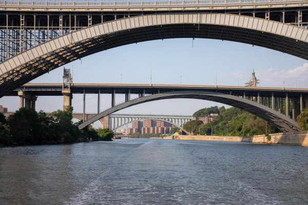
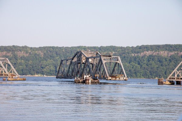
Another choice would be to follow the Harlem River. My sense is that is a trickier trip with swirling currents, tighter quarters and possible necessity for bridge openings (I haven't checked clearances yet).
Anyone with local knowledge (real, not like mine) want to show me how it's done? Aiming for mid July.
Once I get to New York Harbor, I'll be fine. I'm familiar with that area as I used to live aboard a sailboat at Liberty Landing marina in Jersey City.
I also used ot have an office overlooking the East River, which was wonderfully distracting! I watched boat traffic all day and became familiar, from a distance, with the fast tidal flows.
I also once helped take a boat down the river because the skipper assumed I had local knowledge while I assumed he did! We survived. I was not at the wheel so I did not get a real feel for the strength of hte current.
My question is how tough is it to make the trip with tidal flows, rock piles and lots of boat traffic?
I will time the trip to hit slack water tending towards ebb tide. Not sure how long slack lasts but certainly not the hour it will take me to go the distance.
Another choice would be to follow the Harlem River. My sense is that is a trickier trip with swirling currents, tighter quarters and possible necessity for bridge openings (I haven't checked clearances yet).
Anyone with local knowledge (real, not like mine) want to show me how it's done? Aiming for mid July.