Late to the party here, but last Summer in Neets Bay in Alaska, we tucked in behind a small island to anchor. Chart showed ONE small rock near the middle of the bay, with an area about 350' in diameter totally clear of obstructions further up the bay. Tide was incoming, about 3' from high. Smack in the middle of that 350' area, showing 40' of water, just as we were about to anchor, my anchor ho (a friend who was visiting and helping out on the bow) yelled "ROCK!"

and pointed just off the Port bow, about 20' or so. The rock was about 3' under the water, and absolutely MASSIVE! Probably 30' across, and roughly flat on top . . . .
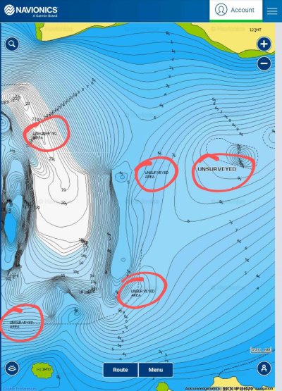
Had the water been turbid, or milky, as is often the case up there, or the waters surface been ruffled by wind, we would never have suspected it was there. Double and triple checked our location, Navionics said nothing there. Paper chart didn't show very good info in the area either.
Needless to say, we left that bay (dead slow, and with three spotters on the bow now) and found another spot to anchor for the night . . . .

Except for this an a few other small variations, Navionics has been spot on for us. Now to see if it is spot on in the Sea of Cortez . . .