Portage_Bay
Guru
- Joined
- Oct 19, 2015
- Messages
- 2,457
- Location
- United States
- Vessel Name
- Pacific Myst
- Vessel Make
- West Bay 4500
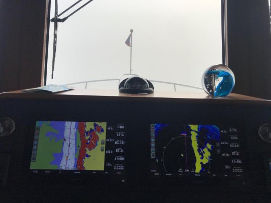
Vector charts can be relied on. However you must understand their limitations and strengths. Any nav aid must be treated the same.Thank you, Portage Bay, for this write up. I’m new to the world of boating where you need charts, and while I have learned some navigation basics, it’s clear that there’s no simple or easy answer. What I conclude from your above, given that raster and paper charts are on the outs, learning vector charts in exhaustive depth is the best path for new mariners. But don’t rely too heavily on them.
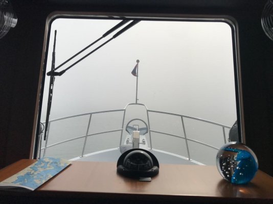
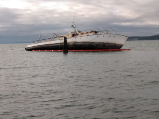
We live in Dugualla Bay Heights, and from our house we can see the entrance to the Swinomish Channel. We’ve been having really low tides lately, and when the water is out at the most extreme, that channel appears to be little wider than your average country creek. The mud flats in this area are miles across, particularly in the area of the channel entrance. Navigating it doesn’t look fun to me at all. I can’t imagine doing it at night.
Regarding the Swinomish Slough. You do have to be cautious. But it's not hard once you master the basis.
Sent from my SM-A125U using Trawler Forum mobile app