Steve91T
Guru
- Joined
- Sep 12, 2016
- Messages
- 898
- Location
- USA
- Vessel Name
- Abeona
- Vessel Make
- Marine Trader 47’ Sundeck
2 years ago I started with Garmin a blue chart. One day I found it was useless. Did some search on here and found people liked Aqua Maps. I’ve been using it for about a year. It’s been pretty good but the ICW is really hard to see.
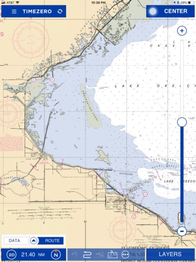
We are getting ready to cross the Okeechobee and there is no magenta line showing the “straight across” route.
So I just installed a Furuno 1st watch radar and it will overlay with TZ iBoating. I downloaded it and it looked promising. I bought the charts for $40 and guess what, no lake O.
What am I missing???