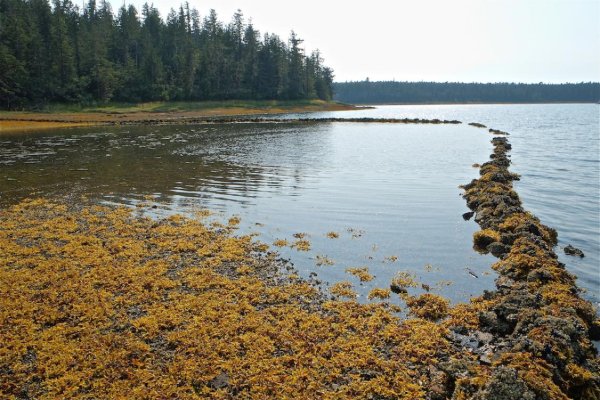
Ran into an interesting issue regarding First Nation's sovereignty on a visit to Bull Harbor on Hope Island in 2017. Bull Harbor is clearly marked on the Canadian Hydrographic Charts as lying wholly within an Indian Reserve. We pulled into Bull Harbor in the afternoon, and anchored up north of Norman Island, approximately 200 yards off the clearly-marked tribal dock. We were there simply to lay-to overnight, and did not venture ashore onto tribal lands. We had no intention of using the First Nation's dock, nor the Canadian Government dock (clearly marked "Public") further to the south.
About an hour after anchoring, two men in a dinghy who claimed to represent the local Tlatlasikwala Nation paddled alongside, and demanded we pay $10 Cd for the privilege of anchoring in "their" anchorage. We politely declined, and asserted that, inasmuch as we had not gone ashore, nor had any intention of going ashore or using the tribal dock, and that the waterways were not "their" waterways, but belonged to all. After some further discussion, they departed, and no further incidents occured.
We were made to feel decidedly unwelcome (despite having anchored up in Bull Harbor numerous times in the past without issue nor charge), and made many in our party uneasy regarding our safety while anchored up. All was well in the end, however, and we departed in the morning to continue our cruise.
I have no issue whatsoever respecting First Nation's tribal rights and desires related to the land that they or the Crown designate as an Indian Reserve. However, I do take issue with the notion that those rights extend into the navigable waterways, simply because an anchorage (in this instance) happens to be subtended by the IR boundary. Please note that we were not fishing, clamming, prawning, or in any way invading their desires to "...feed there extended family next year." I simply had a hook in the mud.
Regards,
Pete
")