AlaskaProf
Guru
- Joined
- Jun 26, 2016
- Messages
- 2,236
- Location
- US of A
- Vessel Name
- boatless, ex: Seeadler
- Vessel Make
- RAWSON 41
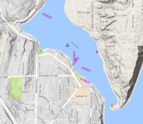
I've cruised one season with passive AIS (receive only) and I'm on the verge of upgrading to a transceiver.
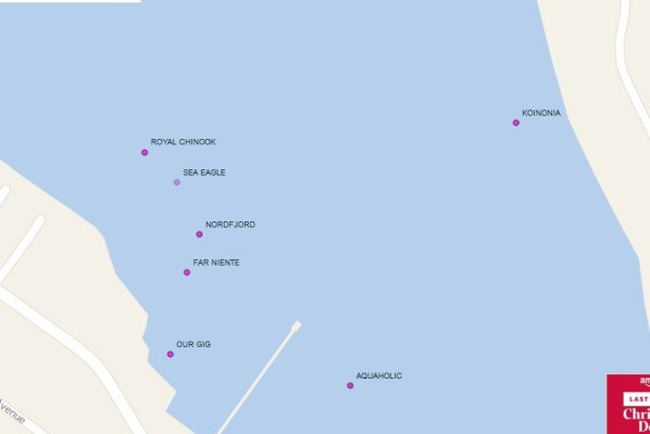
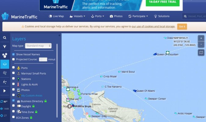
I just went to the marinetraffic website and notice that you and I are depicted as non-specific "pleasure vessel". Is there a filter I'm not seeing, (I've found the one which turns on/off the pleasure vessels, but not one which will switch on the discrete vessel ID.)?
Am I over looking something, or am I simply on the wrong site?
/s/
Anxious in Ashland

")