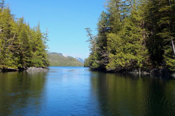
Murray, you posted some pictures earlier of the Gardner Canal area. I can see from the chart that its general topography is a deep trench. Are there any anchorages in there that you use or would recommend? How's the salmon fishing in there?
___________________________
Ken Hatt Trick
The best resource I've found for our local waters is Exploring The North Coast of British Columbia:
https://www.amazon.ca/Exploring-North-Coast-British-Columbia/dp/0938665804
They give good, up to date descriptions of the many side channels, inlets, and bays on Douglas Channel including places with sneaky/dangerous entrances like Foch Lagoon near Kitimat and Kiltuish Inlet in Gardner Canal.
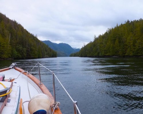
One word of warning for boating in these waters...the main channel was recently surveyed for an expected increase in large ships, but the rest of the area was charted about 90 years ago. Was talking to one sailor who was in the Gardner Canal area and anchored according to the chart, but woke up on the hard; there was so much sediment carried down from the mountains that the tidal flats had extended significantly since it was charted. This makes anchoring interesting. Tides can be over 20 feet which leaves scant room for scope, swinging on the anchor, and the approaching bottom at low tide.
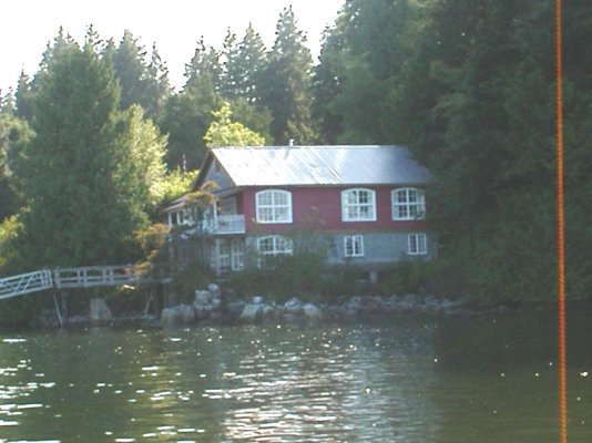
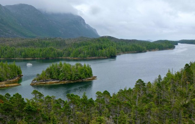
Just after entering Gardner Canal is Triumph Bay, which has a nice cascading waterfall at its head. We opted to stern tie in a small notch as opposed to anchor near the head of the bay because the winds were strong coming from up the valley. The bottom in the whole area (near creeks and at the head of channels) typically has a gradual slope to about 60 feet, then descends rapidly to over 100 feet. This means you should set your anchor "up hill" and keep an eye on currents and winds which threaten to pluck the anchor off the bottom if they are perpendicular to the slope.
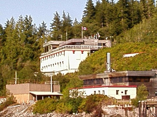
There is a mooring bouy at Europa Hot Springs, just west of Europa Point. My personal favourite of the three hot springs in the area.
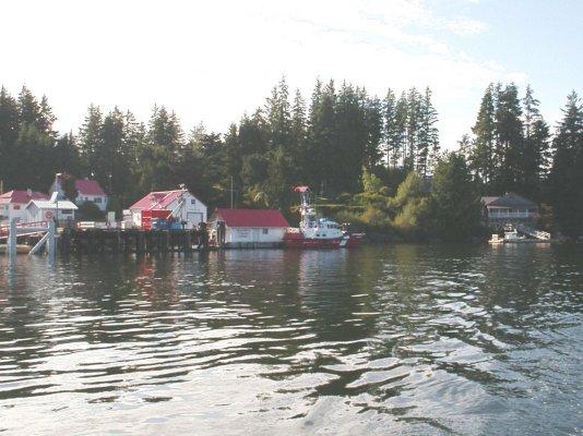
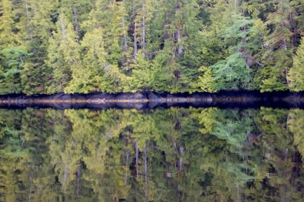
Bish Creek, about 1/2 way down Gardner on the north shore, is an amazing place. Doesn't look like much from a distance, but unfolds beautifully as you enter the small bay.
We've gone past Kemano a bit, but have been saving the Kitlope for when we can spend several weeks in there.
Our goal is to have a storm anchor with 100 feet of chain and 600 feet of rope. That would solve many of the anchoring logistics!
Early spring can be "buggy" so mid to late summer is recommended.
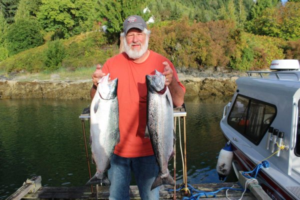
We don't fish much so can offer no advice other than to say we haven't seen people trolling in Gardner, but the place is crawling with Grizzlies, so the salmon are there...


")