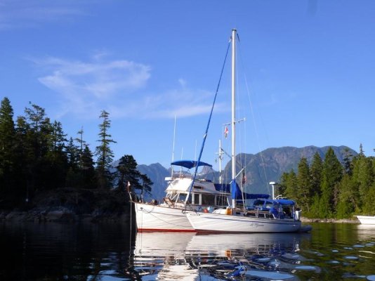
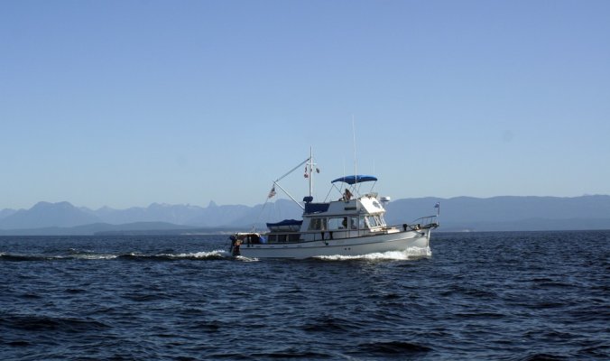
We are leaving September 1st from Anacortes for a 2 1/2 week trip into British Columbia.* Our plan is to go through the Gulf Islands to Nanaimo, then up around Whiskey Golf and cut over to the mainland.*
Our previous trips further north have all been around Vancouver Island with our trailerable fishing boat.* We've been in the Broughtons, Desolation Sound, the West Coast and places in between.* We've never been up the Mainland coast of B.C.
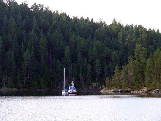
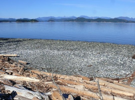
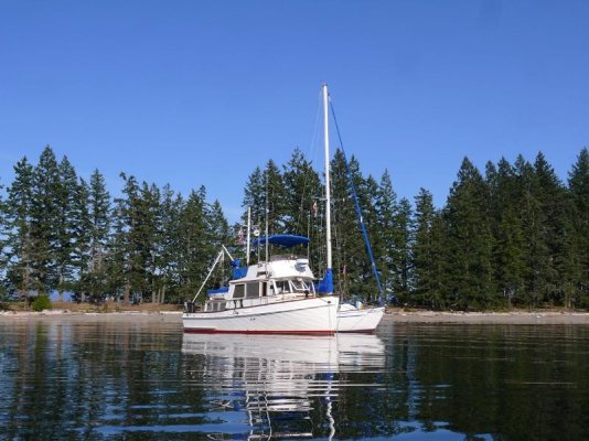
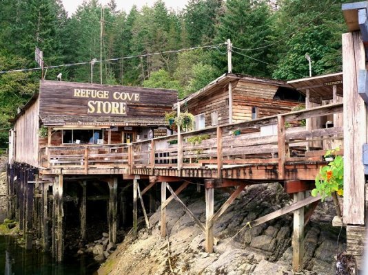
We plan to start somewhere around Pender Harbour, go to Princess Louisa and maybe on to Desolation Sound.* I'm interested in hearing about any areas that you recommend to visit or avoid, the best anchoring locations, good restaurants in the towns and the safest places to get diesel fuel.* Any tips from you veterans of the coast?***
Thank you,
Lyle *******************
Our previous trips further north have all been around Vancouver Island with our trailerable fishing boat.* We've been in the Broughtons, Desolation Sound, the West Coast and places in between.* We've never been up the Mainland coast of B.C.
We plan to start somewhere around Pender Harbour, go to Princess Louisa and maybe on to Desolation Sound.* I'm interested in hearing about any areas that you recommend to visit or avoid, the best anchoring locations, good restaurants in the towns and the safest places to get diesel fuel.* Any tips from you veterans of the coast?***
Thank you,
Lyle *******************