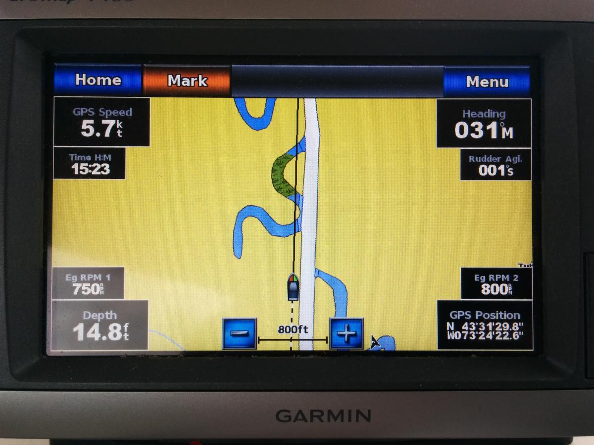
Just so you know, much of the Erie and Champlain canals aren't well charted. I can't speak about the Trent Severn, but frankly, you don't really need a chartplotter on a canal anyway, unless you want to experience the "fun" of having your chartplotter showing you steaming along over dry land.
As for "built in" chart data, it's already obsolete when you buy the plotter. For those places where you actually need a chart, you'll want current data. You'll need to buy that, unless you run a laptop, tablet or smart phone app that allows you to use the (free) downloadable NOAA charts.
Finally, if you already have a built-in sounder, that should work fine. If you want a fish finder with a more detailed display, or forward-looking sonar, then go for it. Or if you want a 2nd sounder for redundancy. But if you're only going to display a number on the chart screen anyway, you might as well keep what you've got.
I'd also look into whether your existing transducer can send data to a new plotter. I have a 2nd legacy transducer and was wondering this myself. They all seem to be made by Airmar anyway.