Forward Sonar?

The friendliest place on the web for anyone who enjoys boating.
If you have answers, please help by responding to the unanswered posts.

Seevee

Guru
Joined
Sep 1, 2016
Messages
3,501
Location
usa
Vessel Make
430 Mainship
All,

Since reading the grounded threat, I thought that some would like to know about forward sonar options, that seemed to have matured a bit lately.

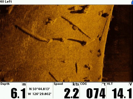
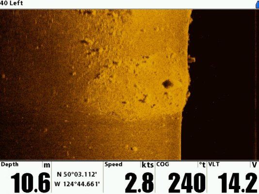
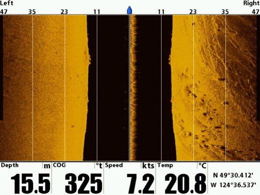
The Garmin Panoptix and the Simrad Forward Scan are two reasonable options. Garmin seems to cater a bit more to the fishing crowd, but both seem to be able to avoid shallow water ahead.

Also, seems to be a bit of older units, that's hard to get info on.

Can anyone comment with experience on these?
 
I have Garmin DownVue sonars on both of our Whalers and love them. I think this link will take you to my Photobucket page where I've posted some pics of the DownVue screen.
Garmin Down Vu by Mike Lauman | Photobucket


My only question about the forward looking sonar is: Does it look far enough to the front that if you saw something that "scared" you, would you have enough time to stop the boat or steer it in a different direction.


If you think about it, you're only going to really need it if you get into skinny water. In deep water you don't worry about grounding. How far forward can it look to see hazards?
 
I thought about this a long time ago too. Even with my old 8mph trawler, I concluded that it could only really look a few feet ahead and that even at idle speed, you would be on top of it before you could react. Now we cruise at 18mph, so it is even more pointless for us. I figure that sometimes, you just can't avoid every hazard. That is what insurance is there for :)
 
I looked around on that Panbo site and found an article about the forward looking sonar and a few pictures. I couldn't paste the photos in here but here's a link to that web page.
Panbo: The Marine Electronics Hub: Simrad ForwardScan (B&G too): a breakthrough even in beta testing


I still have a question about its value. One of the pictures showed them purposefully approaching the side of channel. They were in 35' of water and it showed the side of the channel 120' ahead of the boat.


At 10mph (my 'cocktail' cruising speed) I'm moving ~15feet per second. That gives me about 8 seconds to bring the boat to a full stop before I run into the bank. At 10mph I'm not sure I could get my boat stopped in that distance/time and I KNOW I couldn't change course in that distance.


IMHO, for me, it would have more value as a "cool toy" to show your boating buddies than an actual usable tool. I'll continue to rely on my chart plotter and depth finder to keep me advised of skinny water.
 
Good info so far....

Still questions... wonder how it would work on plane? Probably fair. Or even if underway at 7 to 10 knots reaction time would be minimal.

Seems like the most valuable use is when in shallow areas that may not be charted well, like in and out of a marina, or coming up to a beach, or backing in to an area.... come up to the depth wanted and spin her around, anchor so you can easily swim (or walk) to shore). I do that a lot. Just did that Saturday where a forward view would have been superb.

I've had several times when creeping into an area at 2 or 3 knots where it would be nice. I've also used the hook pole on the swim platform to back into shallow areas so I know exactly the depth at the prop, when it would be much easier to go in forward.
 
Be aware that as the water shallows, the range decreases.
 
Be aware that as the water shallows, the range decreases.

Yes, that is true, but when in really shallow water, like 4 ft, even a boat length is good enough.... if it's accurate.

Anyone currently using either the Garmin or the Simrad? Would really like to get some first hand reports.
 
I had a Westmar side scan with retractable searchlight dome which could be set to scan any quadrant at any angle and could show obstacles and rising terrain hundreds of feet ahead. I bought it used from Coast Guard, was about 30K new. Great for wreck hunting. Have since replaced it with a Hummingbird side scan, not even in the same league but is better suited to my needs.
 
My buddy installed panoptix. It is far better than the Interphase units ever were, and well worth having. On a price-adjusted basis, I think it is better than my real searchlight sonar.
 
I have had a forward looking InterPhase Probe sonar on board for 5 years. I use it but don't really trust it as I find it gives a lot of false readings - targets that are not really there. Remember that you really don't have time to "tune" the system while navigating (and auto tune on my system is poor).

If you think about the geometry, even a flat bottom will always slope upward on the screen. And you will alway have some surface effect from bubbles near the surface. This is because the beam is a cone, not a true beam.

In exploring new anchorages, we use the Humminbird side-scan all the time. The side-scan imagery clearly delineates rocky and soft bottom. It is not uncommon to get the anchor rode hooked on a boulder after swinging all night. The SS imagery helps a lot to minimize this problem.

Golden,

Wow, two good reports about Hummingbird. I tried like heck to get info from them and not once did they help or return my calls, so I scratched them off the list. I need vendors that stand behind their product.

Gut feeling I'll get the Panoptix or the Simrad. The both answer their phone and provide good support, but Garmin is significantly better. I have a LOT of Garmin products and the support has been outstanding. But nice to know about other products. The last time I bought a Garmin, I was leaned toward the Simrad .... called both for some tech knowledge..... Garmin gave me all the time it took and Simrad cut me off after about 5 min. Done deal, bought the Garmin.
 
Seevee

Too bad Humminbird was uncommunicative. I have had good online support and there is a very good online forum. I'll try to post 3 images from the side-scan (challenged by this process every time!). Maybe not so useful in your neighborhood where bottoms are mostly soft but in the PNW we have a variety of bottoms and the SSS really helps.

1. side scan sonar image showing to the left of the vessel track in about 6m water depth. The bottom is covered with stumps and large trees - not a good place to anchor.
2. an image of the seabed 40m to the left of the vessel track showing a boulder-covered seabed in 10m of water. I try to avoid anchoring in a place like this because the anchor rode can easily wrap around boulders when the boat swings.
3. side scan sonar image about 50m to each side of the vessel. The black area in the middle is the water column so you can see the depth is a bit over 10m. Bedrock and boulders are visible on the right side of the image so clearly the preferred anchoring spot is to the left of our track line (smooth bottom).
 

Attachments

  • S00144.jpg
    S00144.jpg
    95.2 KB · Views: 85
  • S00186.jpg
    S00186.jpg
    78 KB · Views: 155
  • S00380.jpg
    S00380.jpg
    86.9 KB · Views: 156
John,

Good pictures. Didn't even realize that Hummingbird made a unit like that, and wish they had been more responsive.

Suspect this would be valuable for preventing grounding, especially when approaching shallow water at an angle.
 

Latest posts

Back
Top Bottom