vp1
Veteran Member
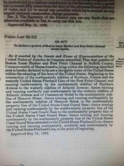
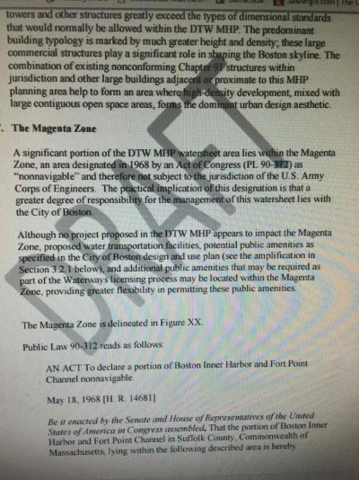
I have an idle curiosity: when looking at a chart of Boston Harbor (#13272) there's a violet-shaded section where some piers are located which says to see note B. Note B says that an act of congress, public law 90-312, declares the shaded area nonnavigable. Finding the actual law, passed in 1968, that's pretty much all it says: "...declared to be not a navigable water of the United States within the meaning of the laws of the United States..." along with a precise description of the boundaries.
What's the effect? There are wharves and piers sticking out almost to the extent of the shaded area, so it's not like there'd be much navigating going on there otherwise, except for boats coming and going (which still has to happen since those piers, from the satellite view, are very much in use). What happens if there's an incident (like a collision) between two boats that are authorized to be there? What rules apply in nonnavigable waters where there are boats nonetheless?
What's the effect? There are wharves and piers sticking out almost to the extent of the shaded area, so it's not like there'd be much navigating going on there otherwise, except for boats coming and going (which still has to happen since those piers, from the satellite view, are very much in use). What happens if there's an incident (like a collision) between two boats that are authorized to be there? What rules apply in nonnavigable waters where there are boats nonetheless?


