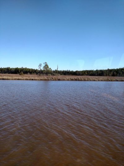
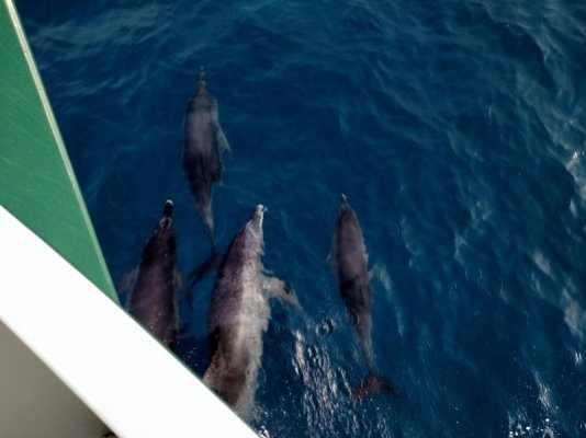
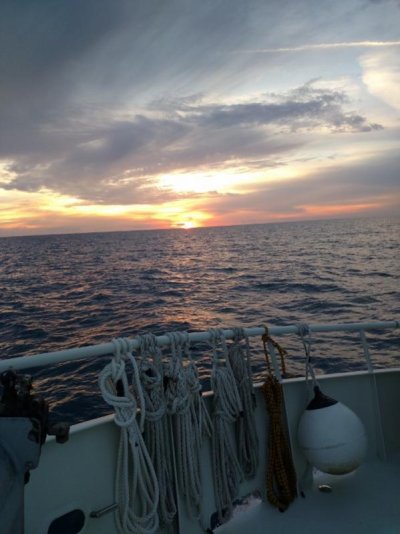
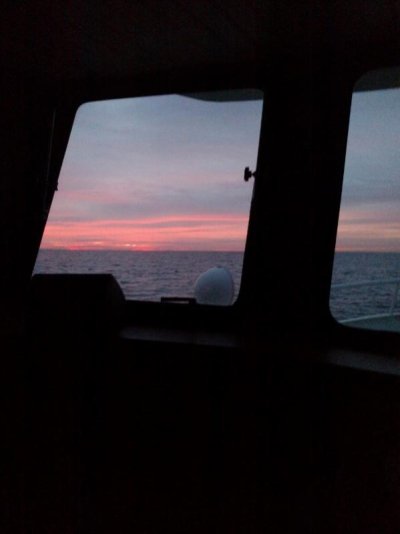
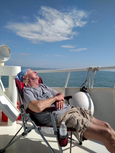
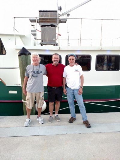
Conall's boat heading south

The friendliest place on the web for anyone who enjoys boating.
If you have answers, please help by responding to the unanswered posts.
Is your boat at Panama City Marina or St. Andrews Marina? The last photo looks like St. Andrews. Our boat is on the "permanent resident" side of the transient dock at St. Andrews. If your boat is there, I'd like to stroll by and take a gander at her. I also have a question -- I'll PM you.

And yes, the weather was pretty crappy here over the holidays -- glad you made it safely.
 
I'm at Panama City. That last pick was from St. Andrew where we hauled the dinghy from.

Conall
 
At Panama City marina, I paid for slip rental for the month of January, and between waiting on the weather and having the weather window coincide with my wife's work schedule, it was the second last day of January before I was able to get back to the boat.

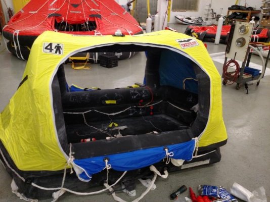
My two friends helping me with the last part of my boat move arrived at the Tampa airport, and after picking up our rental life raft in Tampa, I gathered them and we drove the six hours to Panama City. By the time we returned the rental car at the airport, grabbed some dinner, and a cab to the marina, it was close to 11:00 before we arrived at the boat.

The first day of travel was going to be a 55 mile run from Panama city to Apalachicola via the inter-coastal. While we had enough fuel on the boat to get us to Ft. Myers, the price of $1.65 per gallon at Panama City Marina was too good to pass up so we decided to pump the holding tank and pick up 100 gallons of fuel, and as usual, our planned departure time of 0700 was now a thing of the past.

The weather for the next week was going to be stellar as high pressure had settled in over the gulf, and the trip down to Apalachicola confirmed this. Arriving late in the afternoon in Apalachicola we were greeted at the dock by a friend of one of my crew who lives in Apalachicola and owns Taylor's lumber yard. Ken Fish, owner of Taylor's proceeded to show us around Apalachicola and East Point, and in doing so had me realize what a fantastic part of Florida this area is. The people are crazy friendly and the sea food is the best I've had on my travel across the northern gulf.

Because of my schedule of having to do this crossing around my wife's work schedule, I was on a tight time frame to get to Ft. Myers yacht basin. Because of this tight time frame we began our crossing journey from Apalachicola with the target of landing in Venice, Florida. In round numbers, this made for a trip of about 230 miles. In order to get to Venice with enough daylight and not knowing what kind of speed we'd make across the gulf, we left Apalachicola around 0600 in order to get to the sea buoy at east pass inlet by 0900

The weather forecasts was was for light winds and seas of 2-3' settling down to 2' or less by late afternoon. Our course line was staighg from the east pass buoy to the buoy at Tampa ship channel, then make a turn for the Venice inlet. Setting the throttle @ 1600, and watching our speed bounce between 6.8 and 7.2, we settled in for 25 hours of hand steering across the gulf. Once off shore I felt pretty comfortable that the seas were indeed 2-3', but unfortunately on our beam out of the west. The beam seas were with us for the rest of the day, and as the sun began to set, the seas shifted to more forward on starboard, but had yet to lay down to the 2' or less we were hoping for. Once the sun went down, the challenge of hand steering in the dark quickly sunk in. Because of how fatiguing it is to stare at the plotter screen and hold the boat on course, we agreed to do two hour shifts of steering. The time went by quickly and we were all able to catch some sleep, and sometime around 0300, we all agreed that the seas had indeed laid down as did the motion of the boat.

The closer we got to Tampa, the more targets we began to see on radar. A beautiful sunny Sunday morning found us following the sport fish boats as they quickly crossed the radar screen heading to their honey holes.

Arriving at the Venice inlet within about 30 minutes of our original guesstimate, I pulled back on the throttle for the first time in 30 hours. We called the dock master at Fishermans wharf marina to confirm our slip assignment. After nosing in and tying off, we sat on the front deck and had a few beers realize the first crossing.

A great dinner at the marina restaurant was all the time we'd spend at this nice facility as we left the next morning for a short 35 mile, near shore, run to Cayo Costa where we'd anchor for the night. I've been to Cayo Costa a few times, and it is for sure a must stop for any cruising in this part of Florida. Unfortunately for my friends, I did not bring my dinghy for the crossing, so we had no way to get off the boat and see the park.

Fog found us as we awoke the next morning so we had to wait a few hours before we left for Ft. Myers Yacht Basin. The trip to Ft. Myers would be on the inter coastal, and even though it was the middle of the week, the boat traffic was substantial.

I'm now at my new home port of Ft. Myers yacht basin as an annual tenant with this boat move behind me. The odometer on our Garmin plotter says we've come 2400 miles on our move south. There is a lot to digest as to what's next for the boat, but a few days of maintenance and up keep are in order as very little was needed or done on this trip.

Cheers
 

Attachments

  • IMG_20160128_114729749 (800x600).jpg
    IMG_20160128_114729749 (800x600).jpg
    75.7 KB · Views: 101
  • IMG_20160129_110716509 (600x800).jpg
    IMG_20160129_110716509 (600x800).jpg
    48.7 KB · Views: 107
  • IMG_20160130_165551942 (800x600).jpg
    IMG_20160130_165551942 (800x600).jpg
    44 KB · Views: 108
  • IMG_20160130_181149645 (600x800).jpg
    IMG_20160130_181149645 (600x800).jpg
    55.2 KB · Views: 94
  • IMG_20160131_065837396 (600x800).jpg
    IMG_20160131_065837396 (600x800).jpg
    22.3 KB · Views: 100
  • IMG_20160201_113650203 (600x800).jpg
    IMG_20160201_113650203 (600x800).jpg
    54.4 KB · Views: 105
  • IMG_20160202_175314153 (600x800).jpg
    IMG_20160202_175314153 (600x800).jpg
    56.6 KB · Views: 110
  • IMG_20160201_174218835 (800x245).jpg
    IMG_20160201_174218835 (800x245).jpg
    126.1 KB · Views: 104
Awesome trip! Your crew looks very salty. The pic of the dude sacked out in the chair is classic.

What happened to your auto pilot? Can't imagine hand steering on that trip. When we went from Clearwater to Panama City the AP did all the steering.

How were the 2-3' waves on the beam? That's what we had and we weeble wobbled for 30 hours.
 
Congrats on a great crossing!
When you left Apalachicola did you go out to the gulf through Government cut south of Apalach. Or head out over south of Carrabelle?
If Govt. cut how was the depth, your draft. I have been through Govt cut in my boat 4 ft draft no problems but last several years ago
Thanks
 
Hey Car dude... The guy crashed in the chair was for sure worthy of a pic with his fly catcher wide open... On that particular day we had left Venice heading to the Boca inlet with a slight swell on the nose. It was 80 degrees and the boat had a nice motion to it.

The auto pilot is still on the list of things to purchase. Having hand steered for 30 hours, I think I feel safe to say an auto pilot would have dramatically changed the trip. Hand steering was nothing but work, and having an auto pilot would have added a different dimension to the social aspect of the passage. Auto pilot has for sure moved up on the list.

2-3' on the beam was a not hateful, but made walking around the boat a little more challenging. A few strategic hand holds are needed.

Steve, we were told to not use Govt. cut, so we used East pass @ Dog Island/Carrabelle.

This being my firsts off shore passage on my home built boat, I'm very happy about how she performed. She's for sure a work in progress, and I now have a short list of must do jobs to get her to where I want her to be.

Conall
 
Conall-

You stated that you were steering by the chartplotter, is that right? I can't imagine steering from a little triangle on the computer screen instead of the compass. Is there some advantage that you do so?

Also, where did you source those nice big dorade cowl vents?
 
When I hand steer a long straight course, I would have the course line drawn on the chartplotter, then steer to the course by compass bearing, checking and making adjustments to stay close to the course line. I would not even think of doing that long a trip without an auto pilot though. Hats off to Conall!


We had a boat (just a guy and his wife) without an auto pilot following us on this last crossing and he was hallucinating by dawn!
 
The vents came off of Ebay Mako. I put in some search parameters and had emails sent to me when the parameters were found. Those are six inch vents ( the size of the pipe ), and as I recall, it took a few months of watching to find them.

I was really not to clear on how we used the plotter to steer. I have a Garmin unit with a 12" screen and everything can lay over...chart/radar/sonar. I laid the course bearing with the plotter, then switched screens and used the radar screen to maintain the heading. Because everything overlays, the bearing line is on the radar screen, so to steer, we'd watch the radar heading line move, and adjust the helm to try to keep the heading line on top of the bearing line...pretty fatiguing. All needed information is also on the radar screen such as right or left distance off course , magnetic bearing, magnetic heading, speed and depth, distance to next turn, and arrival time.

When we first cleared the buoy out of the East pass, we were steering by adjusting to the course line on the plotter screen, trying to keep it straight up, and not really paying too much attention to the boat icon on the screen. For me, there's too much clutter on the plotter screen once off shore, so using just the radar screen seemed more fitting for off shore. The radar was set for 36 miles, and throughout the night we saw a couple of targets such as some shrimp boats, and a few charted towers along the course. For me it was fun seeing the targets first appear on the radar screen, then slowly get closer to where could tell, on one instance, that they were shrimp boats as we could see their lights by eye, and using the binoculars, we could see the lit up rigging.

For me being a total rookie at this type of boating,steering by using the radar screen and staying close to my course line was my primary purpose in life on this particular day. When I was steering I'd keep the boat plus or minus 50' off the course line, when bud "A" was steering, he'd keep it +/- 500' off the course line, and when bud " B" was steering, we were lucky if he'd keep it at 1/4 of a mile. When bud "B" would take over the helm, you could instantly watch the arrival time begin to fade as he had a hard time keeping things straight and the boat would zig zag. Within 1/2 an hour of bud "B" taking the helm, the arrival time might be three hours later than it should be proving that the shortest distance between two points is a straight line. Bud "B" was sort of taken out of the steering rotation, and although he did steer some, he had a hard time with it especially at night.

With the long deep keel and heavy duty steering system, once the seas calmed down, the helmsman could let go of the wheel for maybe 30 seconds or so with only a slight touch needed for corrections.

If I had a few more passages under my belt, I might have felt just as comfortable using the magnetic steering compass I have on the helm. The magnetic compass seemed to be off a degree or two as compared to the compass on the GPS, and that slight deviation was noted when we were under way. It's hard to say just how far off it could be, and I need to have someone who knows what they're doing look at my installation and properly swing it. I have zero experience using a steering compass to hold a course, and the more I think about it, the less fatiguing it probably would have been.

Throughout most of the crossing we were in 90' of water. We were told that crab pots could be possible up to 20 miles out as long as the water was 50' or less, so we kept that in mind when laying our course. A rhumb line from Apalachicola to Tampa fit deep enough water and good distance off shore. Once on the line from Tampa to Venice, and in sight of land, crab pots became frequent in the daylight.

The bottom line to all this is that the boat needs an auto pilot! The sad part to all this is that I already have the expensive gear installed in terms of the pump, and all I really need is the solenoid valve in one line, and the Garmin auto pilot to tap into my network port.

Conall
 
Hey Conall, nice experience and mini-adventure! Thanks for sharing.

My personal opinion is that its best to steer by compass and to practice it in various sea conditions also. My autopilot went dead just as the seas off Oregon were pushing 25+ ft. There is no way the AP would have kept course anyway, so the three of us hand-steered for 3 days. Running with the waves on a dead reckon course, no chart plotter, and it all worked out perfectly well, right on track.

The 2 hour shifts weren't as fatiguing as my loud engines! (Take a guess… they were 6-71s).

Anyway, the next time you take bud "A" or "B" out, turn the plotter and your future-AP off and let them hand steer by compass. I'm curious how well they keep track then.
 

Latest posts

Back
Top Bottom