markpierce
Master and Commander
- Joined
- Sep 25, 2010
- Messages
- 12,557
- Location
- USA
- Vessel Name
- Carquinez Coot
- Vessel Make
- penultimate Seahorse Marine Coot hull #6
I thought mermaids were blonde.
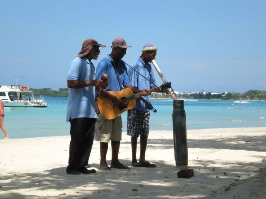
I'd like to be there now.* Have you taken your boat to Jamaica,*** mon?BaltimoreLurker wrote:
Jamaica, mon!
Darrell, for Pete's sake beware.* Have you forgotten what nearly happened to James Bond when the three blind mice were about.* (Dr No)BaltimoreLurker wrote:
Jamaica, mon!
Yes, eventually Honey Ryder made an appearance!Peter B wrote:
Darrell, for Pete's sake beware.* Have you forgotten what nearly happened to James Bond when the three blind mice were about.* (Dr No)
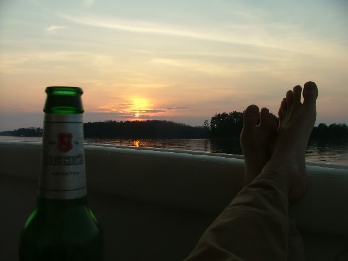
LOL, no, not even close.* But, while at Margaritaville I did see a Com-Pac 23 anchored off the beach.* The Com-Pac 23 was my previous, sail, boat.* I've heard of people sailing them to the Bahamas.* I'm just amazed at the brass of folks who will take a tiny boat like that out into the open ocean.KJ wrote:
I'd like to be there now.* Have you taken your boat to Jamaica,*** mon?
baltimorelurker wrote:
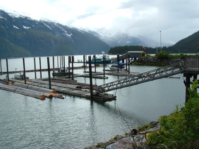
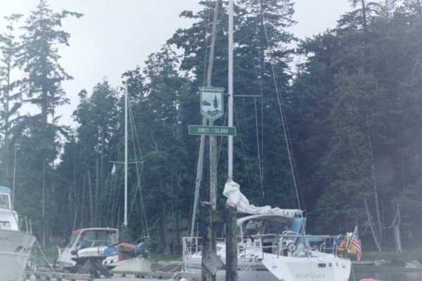
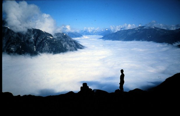
i'm surprised we haven't heard from ff commenting on the gray canister the man in the wind section is utilizing.* i'm sure there are other folks here that recognize it.
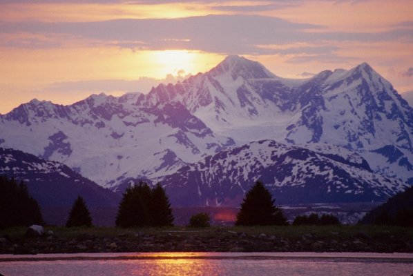
No, but I like the way you think.* It is Jamaica, after all.hollywood8118 wrote:SUPER BONG?????
HOLLYWOOD
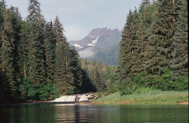
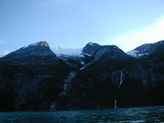
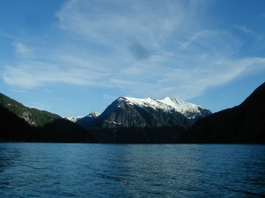
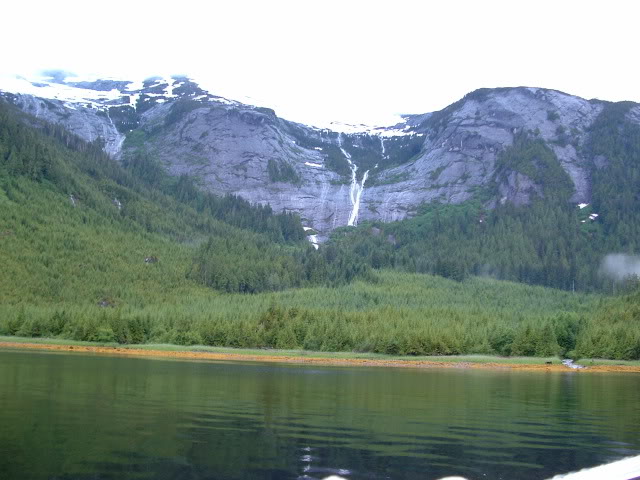
Thanks - you are both too kind!* The camera did all the magic...all I did was point & click.* Digital SLR's are amazing.* Chatterbox Falls is best viewed in the spring with the run-off in full flow...thie was taken in early May and already the falls had started to moderate.Killick wrote:
*
nomadwilly wrote:
Killick,
Your picture is STUNNING. As far as I'm concerned you get the prize for best anchorage picture. I just wish I could click it and make it full screen on my 27" i-Mac. Rich colors w the perfect amount of contrast. I also regret that I never made it to Chatterbox Falls when we were down south. I always wanted to go in the winter. Can you edit and re-post it as a clickable thumbnail? I wonder if that would work anyway.
thanks in advance!!

*KJ wrote:
"Remember, no matter where you go, there you are"
*********************
Happens to me too! Odd coincidence.
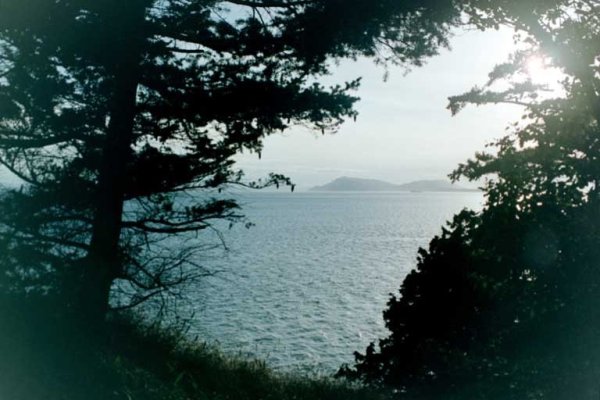
Fossil Bay is by far my favorite local destination. The other bays on the island are each unique and wonderful.

")