MurrayM
Guru
Hi there,
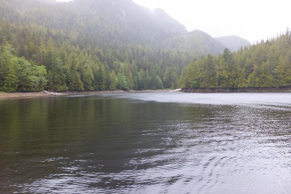
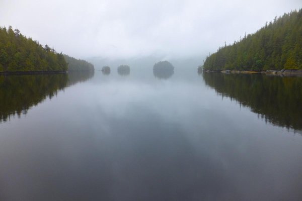
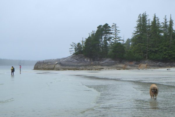
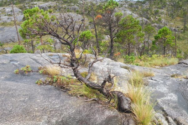
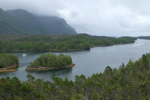
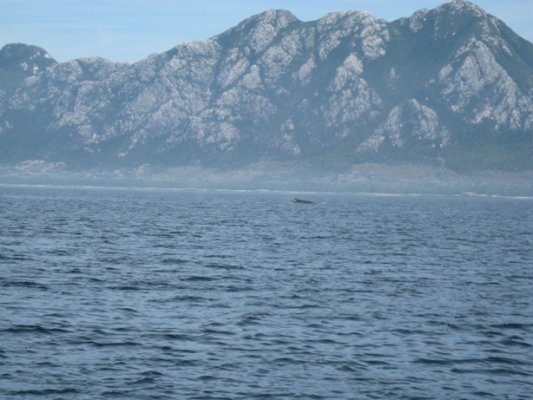
Any first hand accounts of visiting McMicking Inlet, Campania Island, on BC's 'outside' inside passage?
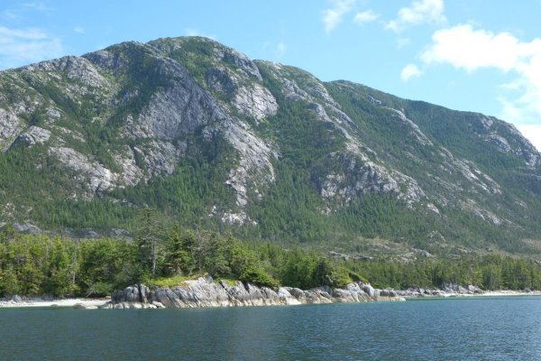
The beaches and mountain there are calling my name, but I don't have time off work until summer...
Any first hand accounts of visiting McMicking Inlet, Campania Island, on BC's 'outside' inside passage?
The beaches and mountain there are calling my name, but I don't have time off work until summer...
")