Best PC navigator for out of US?

The friendliest place on the web for anyone who enjoys boating.
If you have answers, please help by responding to the unanswered posts.

tkeithlu

Member
Joined
Jul 22, 2015
Messages
9
Location
USA
Vessel Name
Santa Catalina de Guale
Vessel Make
43' steel trawler
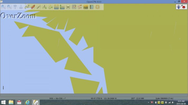
My Maptech PC Offshore Navigator is obsolete (company out of business) and most of the popular software choices stop where NOAA charts stop. I'm considering Fugawi 5, and some raster charts I picked up on Ebay come with an openware navigator that I'm struggling to learn. Any thoughts on the best choice? --Tim
 
Coastal Explorer and the NV charts for a decent raster system. Nobeltecs latest program with vector charts for a more expensive system.

I was burnt also on the MapTech charts as I had the entire Bahamas and Caribbean. All useless now that they cannot be activated on a new computer.
 
I now use Coastal Explorer as it works with Jeppesen's C-Maps which are a good buy for european charts.

I also have Navionics on my tablet.
 
In another thread I saw that you have plans for the Bahamas and the Caribbean. Good charts for the Bahamas are limited. The gold standard seems to be Explorer Charts. If you have an iPad (with cellular) or a Mac with a GPS you can download Garmin BlueChart Mobile for free then buy the charts. The charts for all of North America is $45. This is a cheap way for a back up plotter and charts. :)

https://itunes.apple.com/us/app/garmin-bluechart-mobile/id523635526?mt=8&ign-mpt=uo=4
 
I have MaxSea, with NOAA charts for our area... but it'll take C-Map and Navionics charts if I were of a mind to do that. (We use C-Map charts on back-up tablets, though.)


I think the C-Map charts are said to include Explorer Chart data...


-Chris
 
Garmin blue chart mobile on my IPad Mini has worked perfectly including completely out of cell and wifi range. Must have cellular for gps though.
 
Garmin blue chart mobile on my IPad Mini has worked perfectly including completely out of cell and wifi range. Must have cellular for gps though.


Probably means must have the cellular-capable version of the iPad, but a paid cellular plan and access to cellular towers isn't actually necessary for the GPS capability to work. Yes?

(Apple did a different business approach from Android, and bundled cellular and GPS technology together in the design/manufacturing process.)

-Chris

You're right. The iPad with Wi-Fi doesn't have the GPS. The iPad with cellular has the GPS and you don't have to have a cell plan to us the GPS.

Pretty sneaky on Apples part. They get to charge you $100 plus for the GPS.
 
Another Fugawi user here on laptops and I go to the "true source" for US NOAA raster charts & CHS raster for Canada. I have two Ray navionics plotters as well but do not like/trust vector charts. The whole pack of them, Navionics, CMap, Maptech, etc, are bandits and have constantly screwed the public over with their proprietary formats and stupid data cartridges which are not backwards compatible. I love the older Navionics cards that would purposefully self destruct if you tried to backup your maps. The ridiculous registration processes and lengths they go to to prevent copying the charts (which they originally got from the CHS and free from NOAA before propretizing them) are ludicrously complex and an exercise in frustration. All the more hilarious given the 68 million lawsuit against Cmap for stealing CHS charts in the first place & reselling them.

I could go on about how they all strategically break up the map coverage areas forcing you to buy multiple charts but "oh well". I prefer raster anyway, if for no other reason than at least I'll never see my boat navigating its way over dry land as I cruise down the ICW.

Sorry about the rant but as you might have guessed it is a pet peeve of mine.
 
I'm using Coastal Explorer, and one major reason is the wide diversity of charts that are available. Virtually every format is supported from every vendor and source. I have used US Raster and Vector Charts which are free, Canadian Hydro raster and vector charts, C-maps charts, Chilean government charts, Argentinian government charts, and other purchased charts in various standard formats as used on commercial ships. The only thing that I don't think it can use are the Garmin charts, and nobody but Garmin can. It's also one of the more highly developed and mature charting packages available, and their support is outstanding. Of all the bits and pieces of navigation gear that I've owned, I'd say CE has been the most satisfying and trouble-free of all of them.
 
Thank you all for your very helpful advice. --tkeithlu
 

Attachments

  • Open CPN.jpg
    Open CPN.jpg
    44.3 KB · Views: 67
OpenCPN

Hawgwash
OpenCPN does not include any charts. I'm a long time user and fan of this software. I purchased a copy of the CHS raster charts for use in BC waters. It works well on OpenCPN.
 
Hawgwash
OpenCPN does not include any charts. I'm a long time user and fan of this software. I purchased a copy of the CHS raster charts for use in BC waters. It works well on OpenCPN.

Thanks Doug.
I was going by QBs quote "OpenCPN comes with worldwide 2011 CMap charts." so was puzzled.

Are "CHS raster charts for use in BC waters." pretty much the same price anywhere?

I know this is NOT for navigation but have you looked at/used the Salish Sea Pilot? http://www.salishseapilot.com/phone/index.html

I'm just looking for stuff to play with over the winter build a library.

CHS charts are the same price everywhere. I believe I paid about $180 for the South Coast CD. Vector charts are available but cost more. I prefer raster as they have the familiar look of paper charts.
Haven't seen Salish Pilot but will check it out
 
Outside the U.S., copies of electronic charts are often traded the same as DVDs and electronic books. Not saying it's right but...
 

Latest posts

Back
Top Bottom