OP
OP
rclarke246
Senior Member
- Joined
- Mar 17, 2014
- Messages
- 450
- Location
- USA
- Vessel Name
- Lady Di
- Vessel Make
- 2012 Beneteau Swift Trawler 44
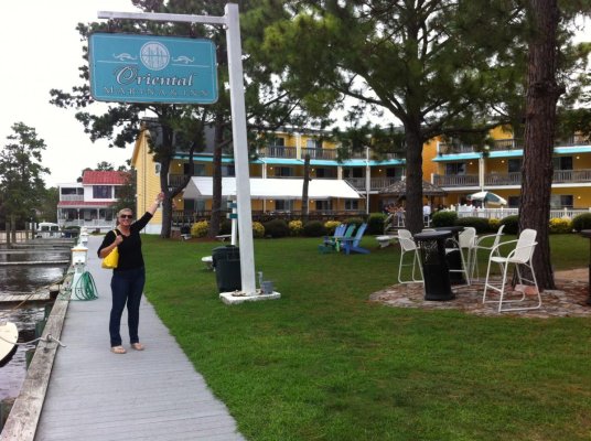
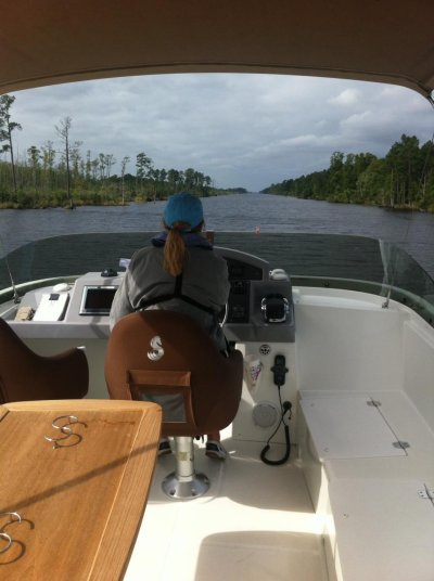
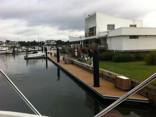
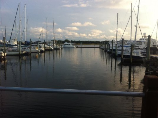
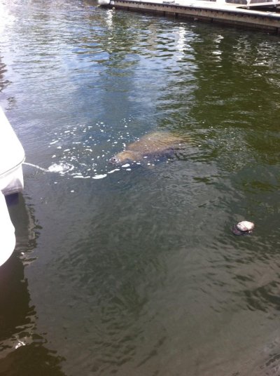
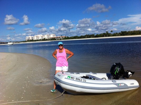
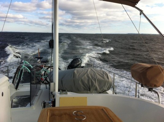
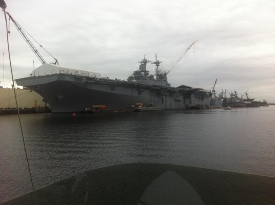
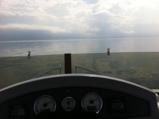
We made it!
Took us 14 days running. We had a bit of a deadline. I know, bad thing!
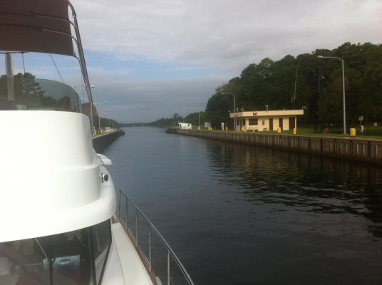
Great experience for wife and me.
Met some wonderful folks.
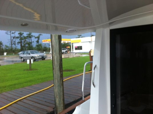
Trip back in 2015 will be way slower, complete with rose smelling.
New motto: "we don't have a schedule and we're sticking to it!"
Thank you for all your tips.
Took us 14 days running. We had a bit of a deadline. I know, bad thing!
Great experience for wife and me.
Met some wonderful folks.
Trip back in 2015 will be way slower, complete with rose smelling.
New motto: "we don't have a schedule and we're sticking to it!"
Thank you for all your tips.
")