windmill29130
Guru
- Joined
- Jan 22, 2011
- Messages
- 716
- Vessel Name
- JAZ
- Vessel Make
- Ta Chaio/CT35

How wide is the channel? As you don't recommend moving over on passing situations, what do you do on meeting situations?
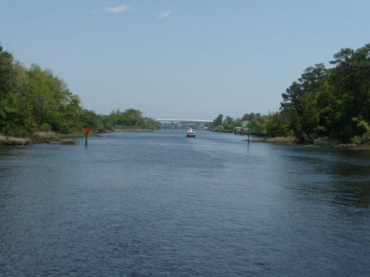
Thanks for the photo perspective Bess. It looks well enough marked to avoid but certainly negligent to operate at the speed quoted in this thread with traffic.
Makes me wonder if the operator of the sport fish will adjust his thinking after this?

Other than the vague Note E on the chart, is there any physical warning in place like orange diamond "DANGER ROCKS" sign boards? There are a lot of tighter ICW sections in NJ than 250ft wide where people fly past each other daily without incident.
Thank youYes, it is well marked with "DANGER ROCKS" signs, or some such verbiage.
I also prefer sand.
No way! Rocks! (I love watching the second boat.)
[youtube]k0zdTScULW0[/youtube]