Just got back from a halibut fishing trip to the north end of Vancouver Island.* Fabulous scenery, typical weather (rain, fog, wind, sun, calm--- don't like what you've got, wait an hour or two and it will change), and we caught our limit of halibut.
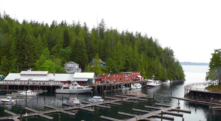
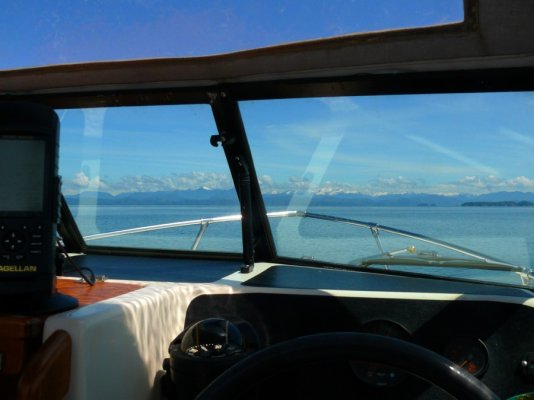
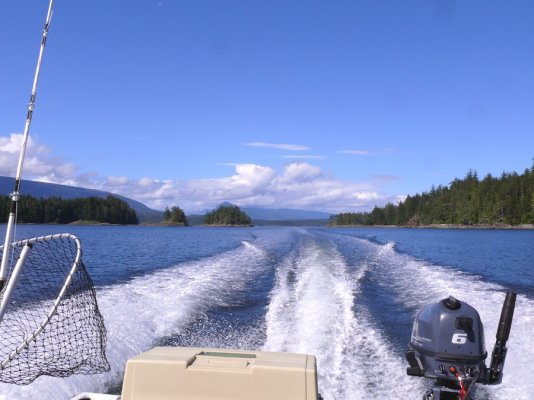
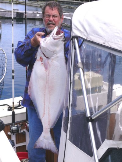
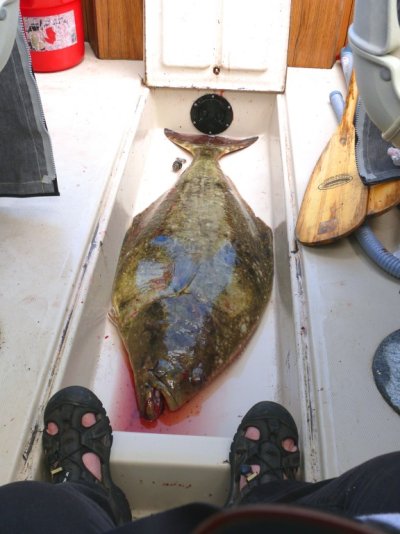
First shot is where we base for these trips (we rent one of the houses that were built to support the mill and salmon saltery that were in the cove in the early 1900s).* Second shot is what it looks like leaving the cove (the mountains in the distance are on the BC mainland).* Third shot is running through the islands on the way to one of our fishing spots.* The fish I'm holding weighed a bit over 40 pounds.* The other fish was too much to hold--- I had to drag it to the cleaning station on a rope.* It weighed about 60 pounds.* It was a bit over four feet long and while the photo doesn't make this obvious, it was almost as thick as the depth of the fish well in the boat.
In these waters anglers are encouraged to release any halibut larger than this as they are all females and each one carries between 300,000 and 500,000 eggs.* Like most bottom fish in the PNW, halibut have been overfished recreationally and commercially so there are very strict catch and possession limits and large areas of rockfish/bottomfish habitat have been closed to all fishing.* These fish grow very slowly (some rockfish live between 100 and 200 years) so their populations do not bounce back quickly.
The largest halibut caught during our stay was about 240 pounds and it was released.
While the halibut in this part of the PNW are not so big compared to what can be caught up north in Alaska, they are still very nice fish.* And halibut have a lot of meat on them---- the two pictured gave us enough to last the best part of a year.