Richard W
Senior Member
- Joined
- Jan 2, 2014
- Messages
- 301
- Location
- The 3rd Rock from the Sun
- Vessel Name
- anytime
- Vessel Make
- 2007 Chaparral 270 Signature LOA 29'
... or autopilot ... another note in the link you provided:Another reason to either really use your compass...or NOT!!! You definitely have to plan for all these little issues...or be way off...
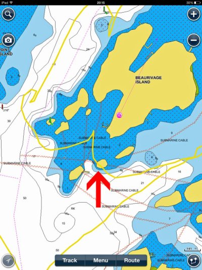
Using autopilot heading east (toward Fort Henry) 200m off the shore out of Portsmouth is liable to be very exciting. Just off the water plant, expect your boat to steer sharply toward the rocks! Whoopie!
I am going to test it this season. The declination map off Kingstone shore goes into my Nav Folder ... thanks!
The article suggests a deposit of magnetite (iron oxide) which is a magnet itself:Greetings,
... there is SOMETHING down there and we shouldn't necessarily take it for granite.
One way to picture this is to imagine an underground deposit of magnetite that runs deeper towards the East.
Last edited:

")