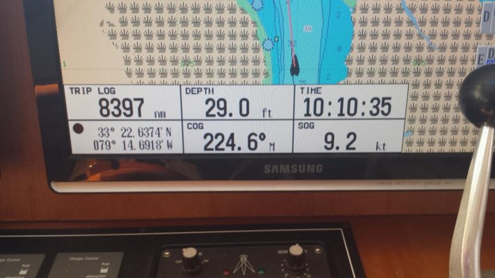
It's kind a Zen thing, but my first rule is if I hit bottom immediately back up where we came from to clear water. I hate backing because, while my prop is not exposed, it presents the weakest part of the keel and rudder to the bottom.
When we intentionally nose into shallow water I am running around 2 knots. I go by two standards - if there is no reason for shoaling to occur (no crossing water) the deepest water is in the "visual center" of the channel. By this I mean that typically one side will exhibit a mud flat forming while the other will have a steep edge. Stay in the visual center of where the water hits the flat, not the grass 5 feet above it. I find this gives you the true center.
When water crosses your path you need think about where shoaling will happen because of it. I usually figure it out after I back off the bottom the first time.

Since I have almost no ability to steer at 2 knots I use the front thruster to point the nose where I have learned deeper water should be and then goose the throttle to make headway.
Hope that makes some sense.
Dave
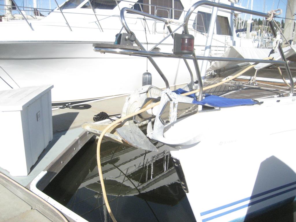
 Yep Nordhavn's are known for their high bows.
") .
.
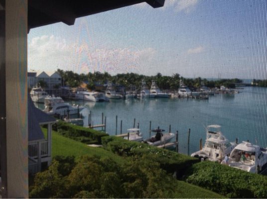
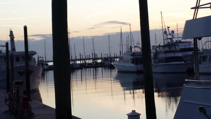
 (apologies to those experiencing the arctic blast).