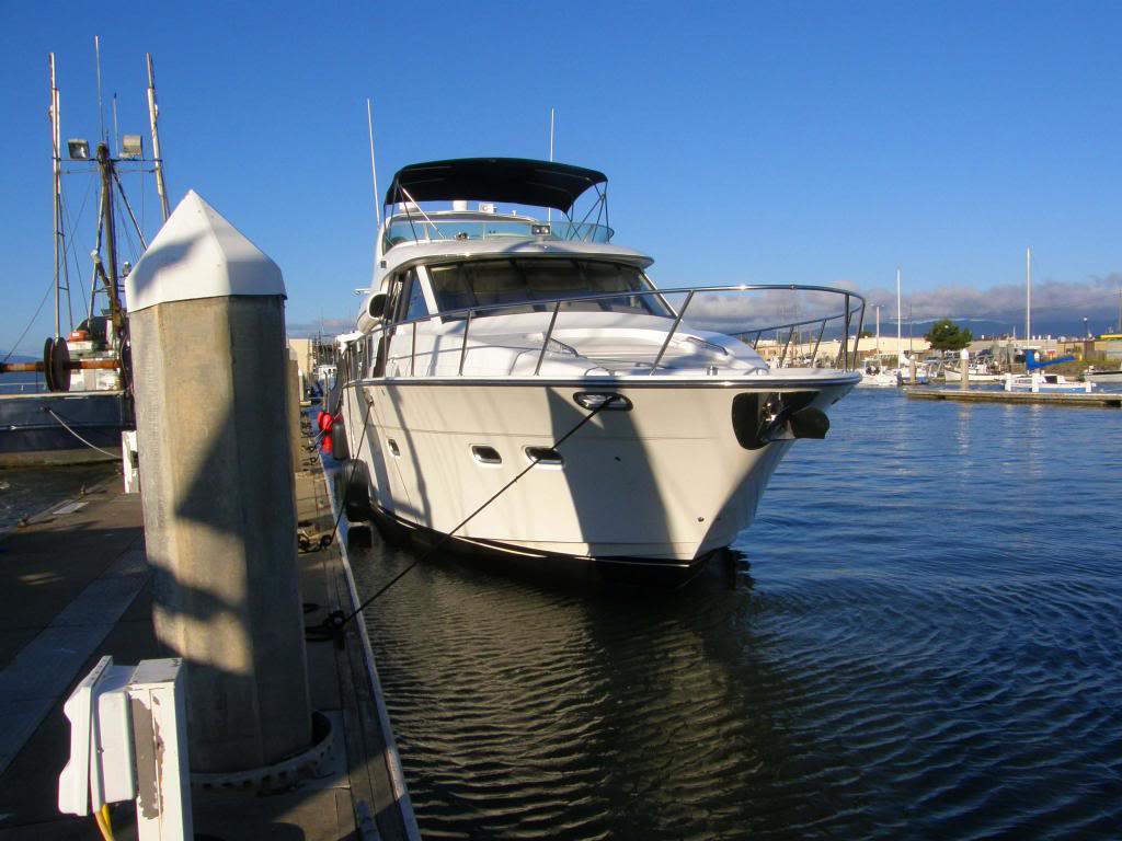
Alaskan Sea-Duction
Guru
- Joined
- Jul 6, 2012
- Messages
- 8,058
- Location
- USA
- Vessel Name
- Alaskan Sea-Duction
- Vessel Make
- 1988 M/Y Camargue YachtFisher
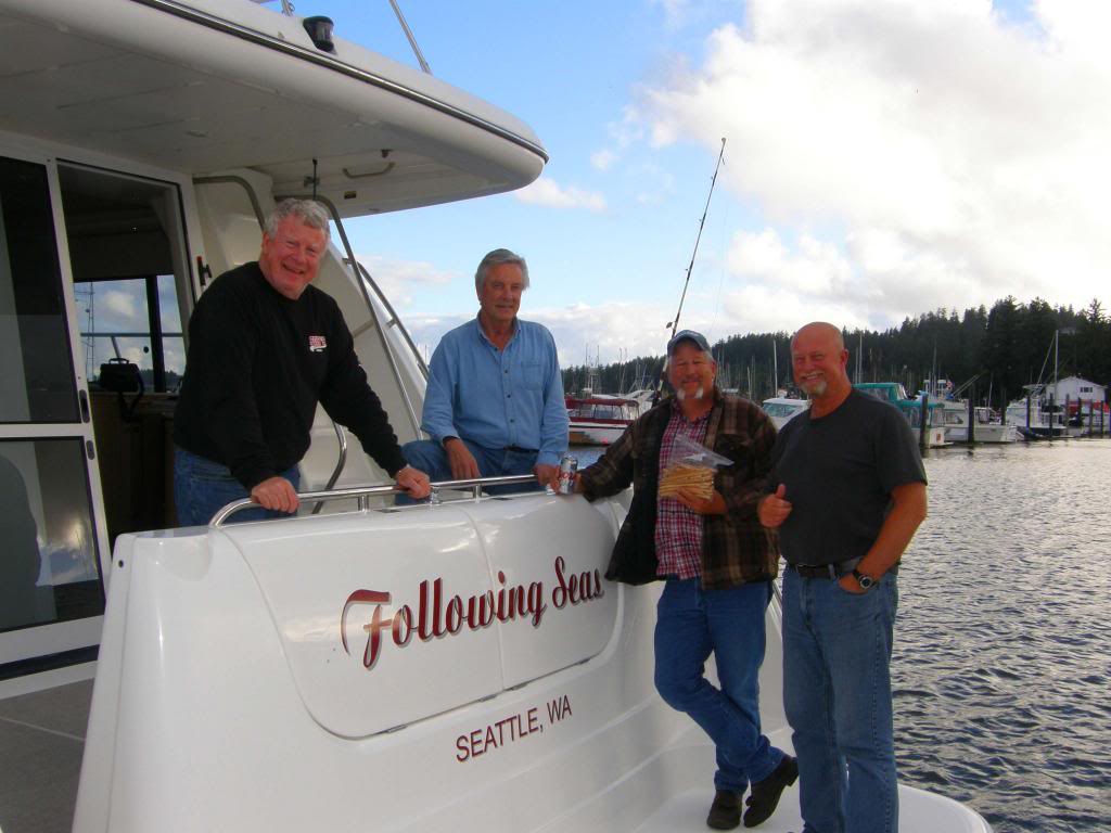
enjoyed the visit last night safe travels. This is better than the "days of Our Lives!"
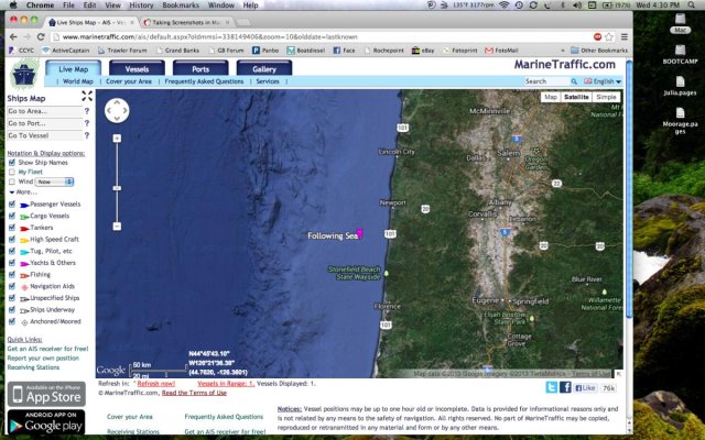
It's a small satellite transponder. It transmits every 10 minutes and for $49/yr you can tell the world where you're at.
You can track them here:
SPOT Shared Page
The SPOT itself costs about $100.
They transmit in the UHF band @ 1610.73 to 1620.57 MHz, Receive @ 2484.39 to 2499.15 MHz

Great to see some hardcore boaters doing what boats are meant to do. Questions:
- What are your thoughts on traveling further offshore and riding the deeper sea contours.
- I may have missed it, is the boat equipped with stabilizers?
- Normally rudder size on vessels like yours are set up for 12 to 20 knots and show less control as one throttles back to trawler speed say 8 knots. Your thoughts/findings in this area?
- What has been the highest sustained wind speed you've encountered?
- Any tsunami debris showing up?
- Many slower trawlers travel at night to do the same distance you do in daylight. What safety issues do you find in night travel on the West Coast?
Since getting back into boating, I'm interested in adding a Class B AIS transponder to the boat, for the obvious safety enhancements. Watching your travels has just added to this interest.
I've been surprised, however, to see your AIS reports disappear at times. The Spot reports have been consistent, as I've found with my motorcycle touring. The AIS doesn't seem as reliable.
At the present time, Spot is showing you a little south of Cape Blanco (at 11:18 AM), but the AIS is MIA. I wonder if that's due to the 2W mode for Class B units? While I've used Spot Messenger for years, I have little experience with the AIS units, so this might be the norm?
-Vic
Next time you see a USCG bird, get on 16 and request a humanitarian drop of Klondike bars....

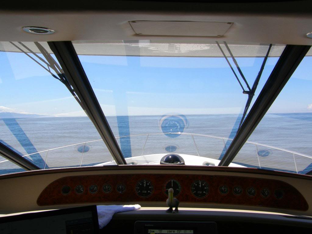
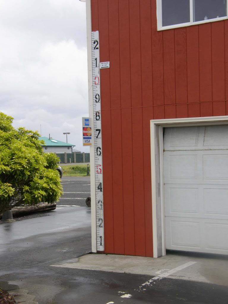
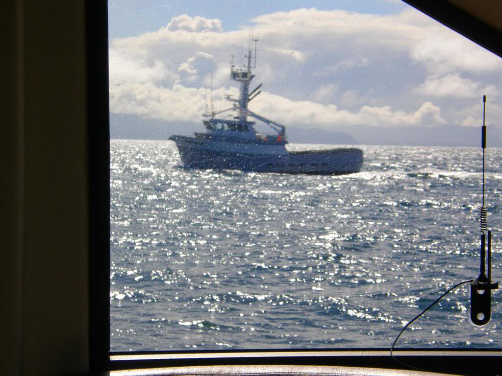
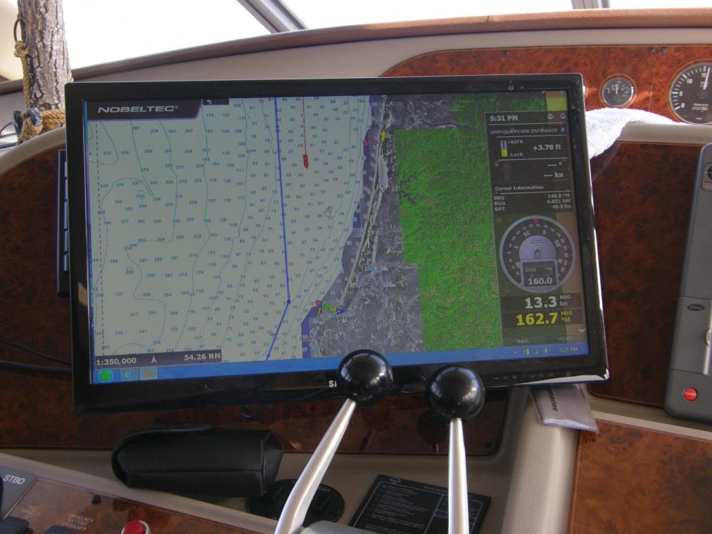
Right when you think these guys know what they're doing...... We spent most of the day in water too deep for pots so that was a good thing. The depth finder reads down to 500’ and it was not reading for a couple of hours yesterday. The charts showed we were in 200 fathoms (600’) for awhile so that’s what happened. (my bold)
Right when you think these guys know what they're doing...
Just kidding. I am enjoying the adventure.
Just curious how you guys are getting internet access? I'm assuming you are posting some of these posts while offshore.
Ron


Just curious how you guys are getting internet access? I'm assuming you are posting some of these posts while offshore.
Ron