captmorgan23
Veteran Member
- Joined
- Sep 29, 2009
- Messages
- 36
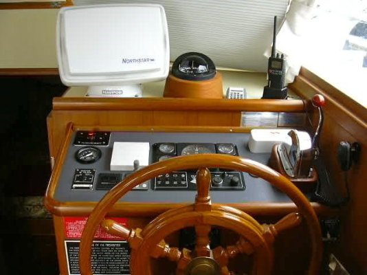
I have a 36' trawler in the Puget Sound area (Port Ludlow to be exact). I am extremely overwhelmed when it comes to what electronics I truly 'NEED'. There is an endless variety of gear and I am having a hard time figuring out where to start. If you are talking to a salesman, you won't be able to survive the night without 3 radar arrays, AIS,fish finders, GPS chartplotters, auto pilot, depth sounders, kitchen sinks, a dozen roses, and a partridge in a pear tree. And then the next guy says "GPS chartplotter is all ya need....hell most people who have radar don't even know how to use it."*
I have 2 VHF radios,one upper on the flybridge, and one in the salon. I also have an older Furuno GPS on the flybridge. So I would love it if the knowledgeable crew in these parts wouldn't mind wading in and at least giving me a bare minimum wish list, as well as a reasonable electronics package that isn't just a gadget fest for gadget fests sake.
Thanks in advance
MP