ocean
Senior Member
- Joined
- May 28, 2011
- Messages
- 161
Open Cpn question
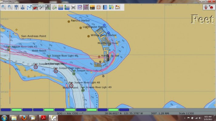
I have loaded this program ,installed the NOAA charts as well as my Canadian charts I watched the charts load into the program Now when I click on charts I get a window showing a directory for the NOAA charts but not the Canadian ones
The directory doesn't list the charts or there #s How do I bring up a list of charts to view them ?
Bert::
")

 and fellow TFer just had one delivered to my front door.

