KJ
El Capitan
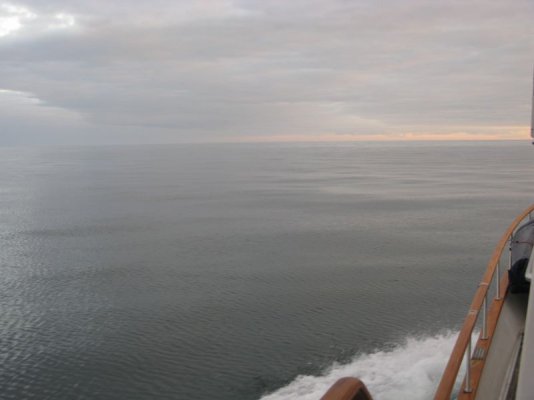
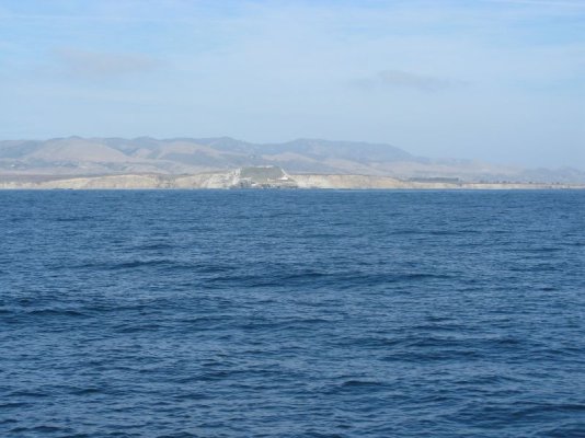
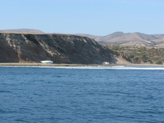
We launched in Port Angeles WA on Fri (9/21) and did a 36 hour (360 miles) run to Newport OR. We ran about 10 miles off the coast. Very interesting being offshore at night (it's been quite a while). Smooth conditions with flat seas and light winds for the whole run.
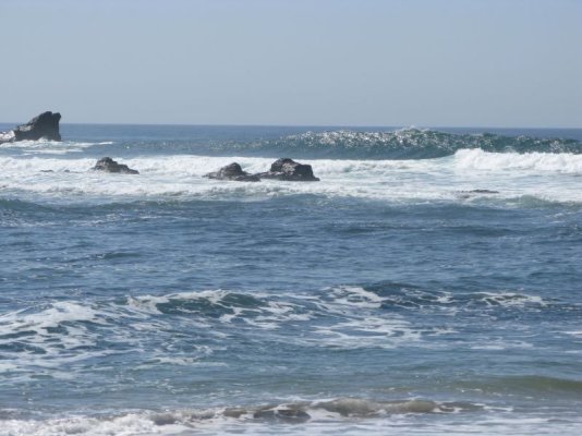
We are currently in Coos Bay, OR. It's blowing 30-40mph so we've been stuck here for a couple of days. We are going to try to get out tomorrow (Thursday) and get around Cape Blanco if the weather settles down. We planned on running straight to Humbolt Bay and then to Half Moon Bay, but the weather and sea conditions may dictate shorter runs. The swells are pretty big right now 10-15ft outside the bar. If it's too wild we can duck into a little harbor that's only two hours from here (Bandon). I think we lost our good weather window for a while though, as it looks like another system coming in this weekend. I think we hung out too long in Seattle waiting for the new props to come in.
We're not in a great hurry to get to our final destination (Los Angeles) so we don't have to risk going out if conditions are really dangerous.
BTW We passed the Columbia River bar at night and around 4am there was a call to the CG that the captain of a fishing vessel had sustained a severe head injury and was having seizures. The CG was sending a chopper out to get him.
We've seen quite a few whales (grays and humpbacks) and porpoises. I got a really cool video of some porpoises playing in our bow wave.
Saw a Trident sub (boomer) coming into Juan De Fuca. It was massive.
The folks that we've met along the way have been very friendly (the tuna guys are pretty tight lipped about where they are catching fish though). I'll try to update at the next stop with WiFi. KJ
Attachments
-
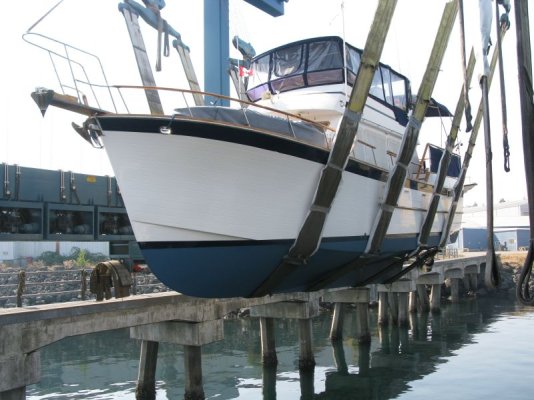 LAUNCH.jpg94 KB · Views: 121
 -
 END OF THE EARTH TATOOSH ISLAND.jpg22.2 KB · Views: 118
 -
 HUMPBACK.2.jpg27.9 KB · Views: 110
 -
 SMOOTH RUNNING.jpg41.7 KB · Views: 120
 -
 NEWPORT OREGON.jpg48.9 KB · Views: 115
 -
 SUNSET OFF DESTRUCTION ISLAND WA.jpg56.2 KB · Views: 110
 -
 NIGHT RUNNING.jpg43.5 KB · Views: 107
 -
 LOST AT SEA.jpg122.4 KB · Views: 118

")


 Thanks for bringing me to my senses, PG!!