Your idea of a perfect Anchorage?

The friendliest place on the web for anyone who enjoys boating.
If you have answers, please help by responding to the unanswered posts.
Here's an imperfect anchorage in Rocky Pass in front of a river mouth. The beach was fairly close behind the photographer to the north. The rainbow pic faces ESE and the 2nd pic faces SW. The Willy is anchored in 2 to 3 fathoms w a 14lb Danforth. I think the bottom was hard as all my other anchors wouldn't set. We wanted to anchor in Big John Bay (a really perfect anchorage) but is was wayyyy too full of crab trap floats. The Rocky Pass channel is the distant water in the 2nd picture on the far right.
 

Attachments

  • all to 12-15-09 522.jpg
    all to 12-15-09 522.jpg
    89.7 KB · Views: 89
  • all to 12-15-09 519.jpg
    all to 12-15-09 519.jpg
    147.8 KB · Views: 82
Pacific Joule:
*
I had a chance to travel the entire coastline of Douglas Channel and the Gardner Canal in 2007 from Hartley Bay (I overnighted at Kitsaway, Eagle Bay, and Miskatla Inlet as well as Kiskosh), and along with the Burke and Dean Channel complex out of New Bella Bella/Shearwater, and Rivers Inlet/Draney Inlet/Smith Inlet out of Duncanby Landing/Dawsons Landing, it makes for some really interesting side trips from the main Inside Passage route.
*
My highlight photo for that run isnt of the scenery, though,

It is of the PERFECT PUMP (right down to the milliliter!!!) at Kitimat.*
*
img_44806_0_d2f132f7ae7584a90191f40796ec958a.jpg

*
Eat your heart out, Seinfeld!
*
OS
 
Woodsong:
*
Thanks for the close-ups of Lake Lanier.* The photos you posted match anything posted in this thread.* I could understand if you had apologized for that guys feet cluttering up your photos!
*
Thanks for traveling along with me on some of Stalwyns summer journeys.* I always appreciate your comments and knowing you find time to come along for the ride.
*
OS
 
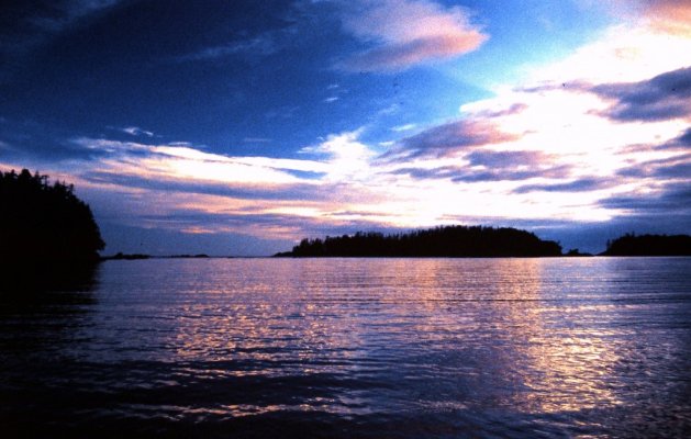
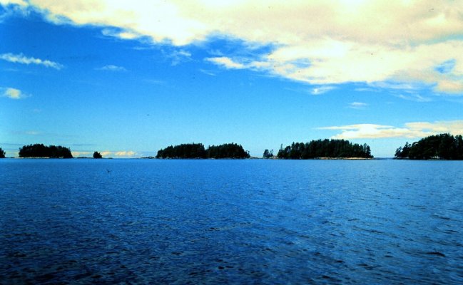
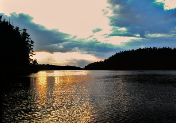
<h3 style="margin:12pt 0cm 3pt;">Nomadwilly:</h3><h3 style="margin:12pt 0cm 3pt;">You said, "Just SW of Shearwater there's a most beautiful maize of islands, channels and passageways like the west side of Hunter Is. Every time I run the IP I say I'm going to cruise and take my time doing it someday but I never do it. Always in a hurry to get south and beat the weather in the fall or hurry up and get to Alaska."</h3><h3 style="margin:12pt 0cm 3pt;">I believe you would enjoy that, Eric.* There is a week's worth of nice anchorages in that run, and the fishing, crabbing are o.k.</h3><h3 style="margin:12pt 0cm 3pt;">CHS current charts for the run from the Weather Reporting Stations at Dryad Point (north of Shearwater) and Addenbroke Island (the last report before Egg Island, just north of Cape Caution) are 3939, 3936, 3935 for the IP, and add 3937 for the run west of Hunter Island.* You only need to be exposed to Queen's Sound for a 2-3 nm run from Cultus Sound, around Superstition Point to Spider Channel.* </h3><h3 style="margin:12pt 0cm 3pt;">Several anchorages in the McNaughton Group can provide a layover out of the winds at Superstition Point, as do a couple of north facing anchorages on the south side of Cultus Sound.* Campbell Island Inlet requires a high tide entry and exit, but is VERY nice.</h3><h3 style="margin:12pt 0cm 3pt;">On the south side of Superstition Point, you can find a spot or two off Spider Anchorage, and in Bremner Bay, on the west side of Kildit Sound, and a super spot or two in Lewall Inlet in Stirling Island, at the bend or at the head.* If you exit back to Fitz Hugh Sound and the IP at Hakai Passage, you could o/n at Goldstream Harbour, south of Kelpie Point.* </h3>*
Try it!* Youll like it!
*
OS
 
Carl, The price of premium gas at Kitimat is $1.20, and for diesel it is $1.13 an liter. Both subject to change by this summer. Safe and Happy Boating PJ.
 
Young Mr. Stone, SIR!

I was out for 75 days on that trip, from Secret Cove to Prince Rupert, and up the inlets to Alice Arm, Kitimat, and Bella Coola.* Kitimat provided the cheapest diesel fuel on the entire 3000 nm trip.* Go figure!

OS
 
Old_Salt wrote:

I was out for 75 days on that trip, from Secret Cove to Prince Rupert, and up the inlets to Alice Arm, Kitimat, and Bella Coola. *

OS
Sounds like a wonderful trip!!!
 
*<a></a>Old Salt, You nailed it with your recipe for exploring the Gardner Canal. The Kitlope River Delta can be a tricky place to anchor but well worth the effort. Here are some pics. Of the estuary and Kitlope lake , all accessible with a small boat.
 

Attachments

  • p1020856.jpg
    p1020856.jpg
    118.8 KB · Views: 89
  • p1020849.jpg
    p1020849.jpg
    144.2 KB · Views: 89
  • recovered_dec_08_2008_172.jpg
    recovered_dec_08_2008_172.jpg
    104 KB · Views: 87
  • recovered_dec_08_2008_176.jpg
    recovered_dec_08_2008_176.jpg
    106.2 KB · Views: 89
  • recovered_dec_08_2008_270.jpg
    recovered_dec_08_2008_270.jpg
    202.8 KB · Views: 100
PJ:

I just had a great idea!

I'm gonna' quit goin' out in my boat every summer, and just wait for you to post these great pics of yours!* More!* More!***

clap.gif


OS
 
*
no.gif
* Old Salt, Too big of a ship for my command. I would not go along with that idea . I enjoy reading your posts and viewing your photos very much . Like many others I am looking forward to sharing your adventures this year. Keep up the good work .
Safe and Happy Boating PJ.*


-- Edited by Pacific Joule on Thursday 3rd of March 2011 03:56:06 PM
 
Well, If we've gone from anchorages to just plain pics here's some Ketchikan area pics that will blow you're socks off. They are not mine but those of a professional photographer.Marin should like these because of all the little Beavers in the pics.


www.chipporteralaska.com


I expect no complaints.
 
Pacific Joule, there's some evidence of pretty impressive glacial activity in carving out those waterways....truly beautiful.
 
*Nomadwilly, Sorry for the other than anchorages photos I posted, I will try to stick to topic better. Here are some that would certainly make my top ten anchorages. Swindle Island at the west end of Higgins Passage , Princess Royal Island Monk Bay, Unnamed bay west coast of Banks Island between Spear Point and Grief Point, Princess Royal Island *Emily Carr Cove. *Safe and Happy Boating PJ.


-- Edited by Pacific Joule on Friday 4th of March 2011 05:07:24 PM
 

Attachments

  • 12-6-2008_013.jpg
    12-6-2008_013.jpg
    156.5 KB · Views: 93
  • 12-7-2008_100.jpg
    12-7-2008_100.jpg
    192.9 KB · Views: 88
  • p1060339.jpg
    p1060339.jpg
    118.6 KB · Views: 95
  • 12-7-2008_122.jpg
    12-7-2008_122.jpg
    169.5 KB · Views: 107
  • 12-8-2008_001.jpg
    12-8-2008_001.jpg
    178.2 KB · Views: 112
PJ,I'm not sorry. I did as well but your pics are so good I just want'em anytime anywhere.
Carry on sir.
 
Hi Eric,

Those Chip Porter photos are fantastic!* He's quite an artist.

Do you know Chip? Would be cool to learn a thing or two from him.

Guess I'd have to spring for some float plane trips to get anything like many of his pics.* Haven't yet done that, but it's looking more and more attractive.* Have you done much flying?* How expensive is it?


-- Edited by RCook on Saturday 5th of March 2011 08:10:19 AM
 
Richard,I've done 2000hrs of ultralight flying and about 200 w hand gliders. I miss it a lot! Can't fly up here w/o a real airplane but they are too expensive. Actually not unless you include the floats but you can't exclude floats up here. I flew in W Wash because there was always farm fields below in case the snowmobile engine quit. They do quit. It's amazing how seldom though. There is a chap here in Thorne Bay w a yellow cub on floats and I could hook you two together if you like but I've never heard of him flying for pay.
 

Latest posts

Back
Top Bottom