A trip to the water by car

The friendliest place on the web for anyone who enjoys boating.
If you have answers, please help by responding to the unanswered posts.

GFC

Guru
Joined
Nov 14, 2012
Messages
4,406
Location
USA
I've lived in WA for over 40 years and have traveled over much of the state, but one area I haven't been to is the Olympic Peninsula. A couple of months ago my wife and I and her cousin and cousin's hubby were talking about a road trip and all agreed that would be a good destination.

My wife found a cabin in the woods about 5 miles south of Sequim on Airbnb so we booked it for four days/3 nights.

The trip over was beautiful and uneventful. We traveled to Seattle over Snoqualmie Pass then turned north to Edmonds to catch the ferry to Kitsap, a small town on the Olympic Peninsula. Here's our entry to the ferry.
IMG-1290.jpg


As you can see, the weather was perfect. Sunny skies, no winds, etc. Here's the four of us, Jim, Sandy, Tina and me.
IMG-1293.jpg


It's only a 35 minute trip on the ferry so we no sooner got up to the bow than it was time to return to our car.

Here's a shot of the Strait of Juan de Fuca taken from a few miles east of Sequim. The mountains in the background are Canada.
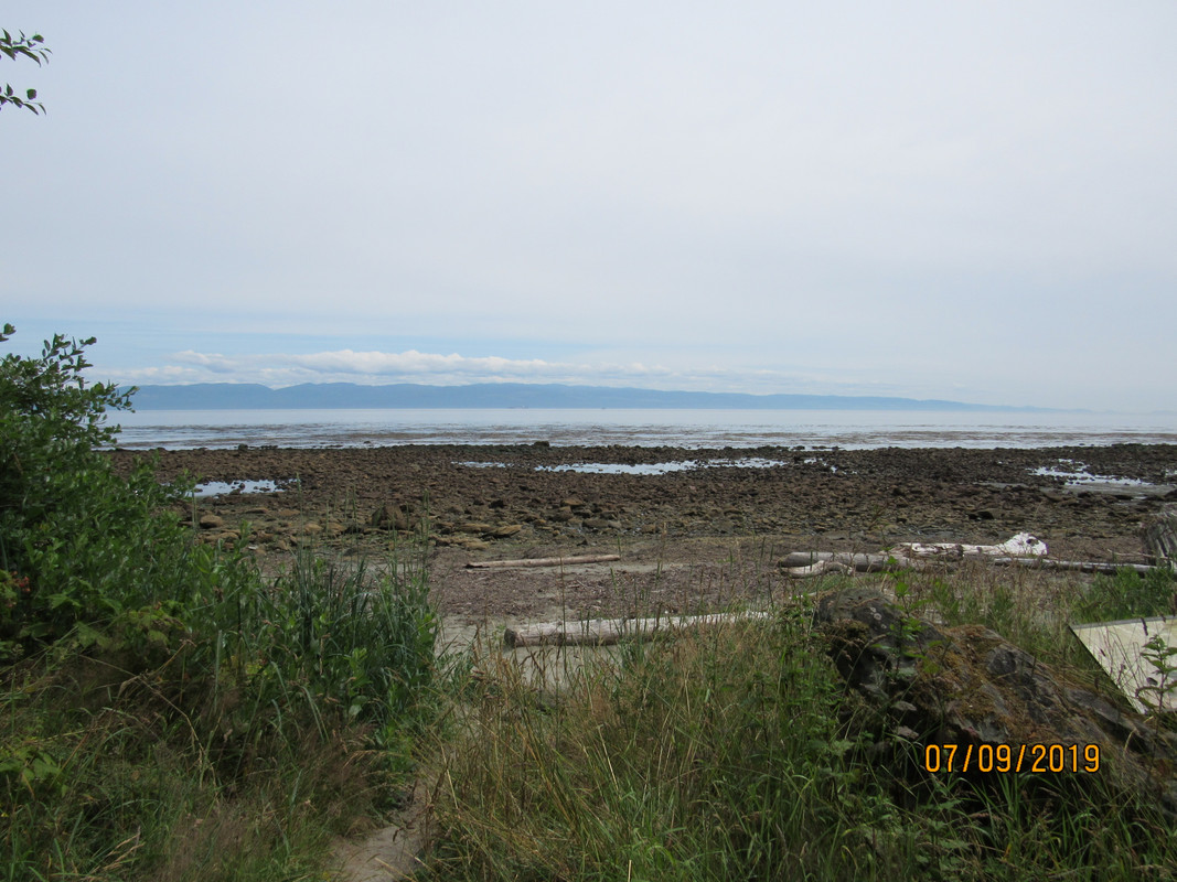
IMG-1308.jpg


After a short tour of Sequim we drove out to the cabin and were a bit surprised to see deer along the roadway. All the deer we saw were Blacktail Deer and are quite small. We had a contest to see who could spot the most deer. Jim won with 12, his wife had 8, my wife had 11 and I had one. Not fair because I had to watch the road. :mad:
IMG-1303.jpg

The cabin we rented was a 2-story with 2 bedrooms and 2 bathrooms, decks on three sides and was very comfortable.
IMG-1371.jpg

Here's the view from the front deck. Not a long distance, but pretty.
IMG-1345.jpg

(Continued)
 
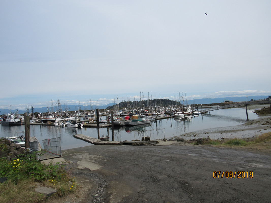
We each had things that we wanted to do while we were there. Mine was to travel out to Neah Bay, a Makah Indian Village, and also to go out to Cape Flattery. Several years ago I helped a friend take a boat from Seattle to Stockton, CA and we had overnighted at the harbor at Neah Bay. It's a commercial fishing harbor and a nice marina.


Here's a shot of the harbor.
IMG-1311.jpg

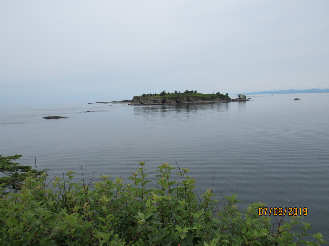
We took a quick tour of the town then had some great fish and chips then headed to Cape Flattery. The Cape is the furthest northwest that a person can to in the continental US. We had passed between it and Tatoosh Island when we rounded the point and it was nice to see it from land. Here's what the island looks like and the lighthouse on the island.
IMG-1328.jpg

See that rock between shore and the island, and the rocks just to the left and beyond the big rock, that's the path we took when we were taking that boat to CA.
IMG-1329.jpg


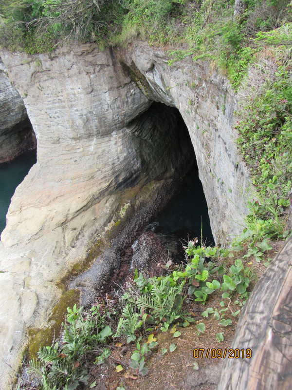
I found out from talking to a park ranger that the entire Cape Flattery sits above a labyrinth of tunnels that have formed over the years. She had kayaked back in there and she said those tunnels go for a mile or more. At some point (millions of years from now) they expect that the Cape will collapse. Here's what some of the tunnel openings look like.
IMG-1332.jpg


IMG-1333.jpg


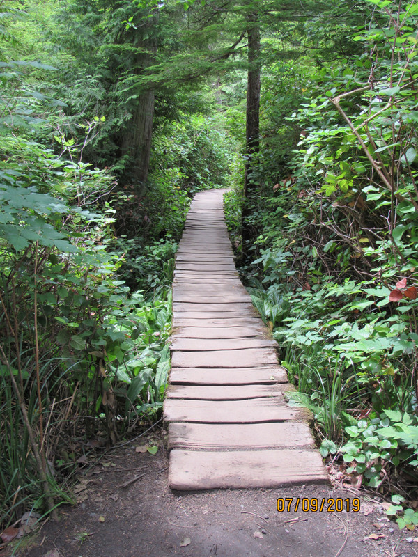
The trail down to the Cape is about 1.3 miles long and we found out that what goes down must also come back up. Let me tell you that by the time we got back up we were all ready for a cool one. The trail starts out fairly steep and just a worn path several feet wide. Then it narrows down to a boardwalk and is still just about as steep.
IMG-1321.jpg


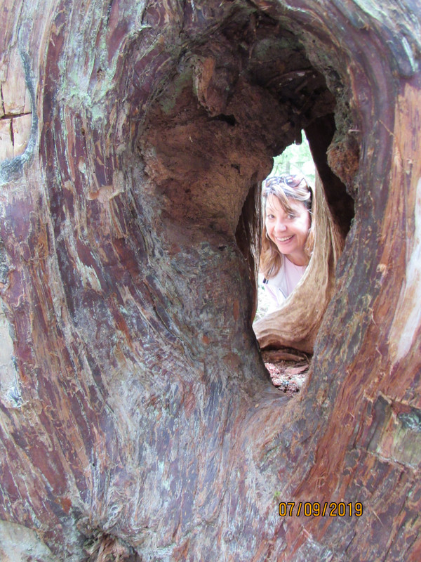
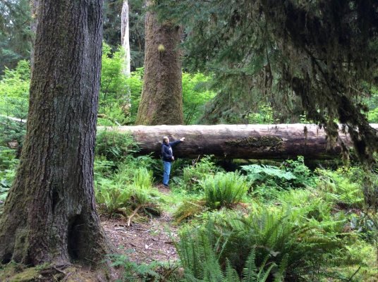
For the four of us who live in the desert of SE Washington it was especially nice to walk through the trees of the rain forest. Some of the trees are a bit spooky and have fairies of the forest among them.....
IMG-1324.jpg


The next day we drove up to Hurricane Ridge. It's aptly named because of the howling winds that whip through there. It was cloudy the day we drove up there and I didn't take any photos because we all know what clouds look like. Sorry.


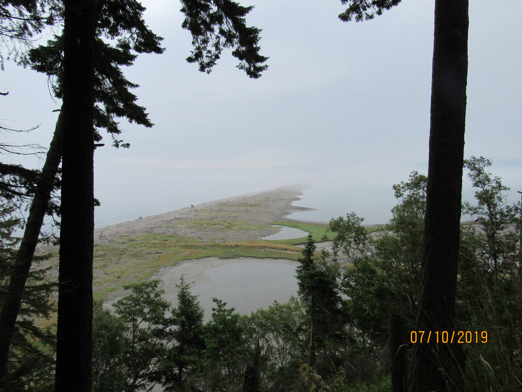
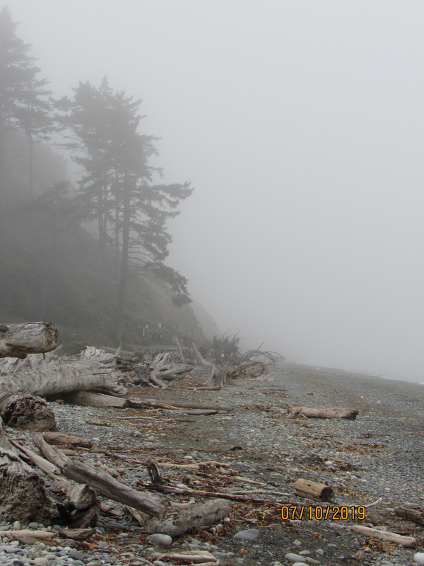
That afternoon we drove out to Dungeness Spit, a five mile long finger that sticks out into the Strait. Again we got our exercise hiking out to the spit and walking along the spit.
IMG-1363.jpg


IMG-1369.jpg


IMG-1370.jpg

We spent a couple of hours just walking the beach (Now you know why my boat is named "Beachcomber"), picking up shells and stones. OOPS, no we didn't. I think that's some kind of national park or something so that would be illegal, so we really did not do any of that.


So that's about it. We had an uneventful ride back across on the ferry and an easy drive home. All told, we drove 994 miles in the 4 days, ate tons of fresh fish and had a great time. My wife had taken a couple of board games along but we were having so much fun just talking that we never even opened them.
 
Now just imagine how nice that area would be if you brought the boat up! Tell Tina not to be scared, cuz you’ll promise only real nice weather for the trip up the outside! And you can do it in short order, much shorter than we can on Pairadice.

Thanks for the pics and story gang.

Cheers
 
You squeezed a lot in during your trip of the area, glad you didn't have any dear encounters on the highway! Thanks for sharing.
 
We went tenting to the Hoh rain forest 2 years ago and to Soentula near Port Hardy just last week. I’m gett’in too old for that I think but sure glad we went.
 

Attachments

  • 65DCCA16-73C2-4A3A-89CD-1DEFD7A1931A.jpg
    65DCCA16-73C2-4A3A-89CD-1DEFD7A1931A.jpg
    205.5 KB · Views: 40
  • C4EF3AF9-B9EE-49ED-8065-23688B5F7F63.jpg
    C4EF3AF9-B9EE-49ED-8065-23688B5F7F63.jpg
    201.5 KB · Views: 36
  • A700DB3F-896E-42EA-9658-5138D454B61F.jpg
    A700DB3F-896E-42EA-9658-5138D454B61F.jpg
    203.8 KB · Views: 45
Eric, we wanted to see the Hoh rainforest but there are only so many hours in the day.


I'm also too old for tent camping. At my age, my idea of roughing it is having to share the bathroom with my wife.
 
Back
Top Bottom