OpenCPN charts for US inland waterways?

The friendliest place on the web for anyone who enjoys boating.
If you have answers, please help by responding to the unanswered posts.

Humancell

Veteran Member
Joined
Aug 2, 2017
Messages
54
Location
USA
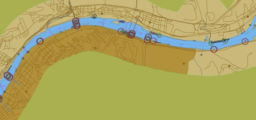
I've seen a few people saying they are using OpenCPN, and I've started to experiment with it.

I'm curious about recommendations on charts for the US Inland Waterways - Mississippi and tributaries?

I'm hoping someone has experience with some specific sources or products?

Thanks!

Scott
 
Should be compatible with the Corps of Engineers ENC charts from the various districts.
 
Should be compatible with the Corps of Engineers ENC charts from the various districts.


Yes, should be, but I tried to load them and am not seeing anything usable at this point. I can see the vector outlines of the rivers, but no channel or markers etc.

I'm still learning and experimenting, but have not found any good examples of getting them working.
 
I just tried it and got it to work after:

  1. Scan Charts and Update Database in Options / Charts. I do this after every chart install.
  2. Make sure "Enable Chart Quiliting" is checked in Options / General.
  3. "Show Chart Outlines" checked in Options / General.
# 3 seemed to be the key for me to be able to find the chart, zoom in and see how it looks.


Then I went to Options / Charts / Vector Chart Display to get it too look the way I want it to. Below is a chunk of the Allgheny River. Not a lot of info and detail but that's easy to fix in Options / Charts / Vector Chart Display
 

Attachments

  • Allegheny_river.jpg
    Allegheny_river.jpg
    72.3 KB · Views: 53
Forgot a couple of steps. If at first all you get is the blank outline then:


  1. Click in the chart area
  2. Select the chart at the bottom of the screen.
 

Attachments

  • Blank_outline.jpg
    Blank_outline.jpg
    37.8 KB · Views: 49
Yes, those charts cover very narrow areas (rivers and canals.) You won't see them at all unless you zoom way in.

I sometimes had to start at someplace I knew the waterway was (a town on the waterway, or the mouth of the river) and keep zooming until it popped up, then scroll along the waterway until I got to the area I wanted to see.

It's easier if you're already there. Just keep zooming in until it appears.
 
Back
Top Bottom