Gbinterim
Senior Member
Hi all, need all of your recommendations for laptop navigation software. Currently I have an old version of Chartview which still works well. Thinking of updating but to what? Thanks
Hi all, need all of your recommendations for laptop navigation software.
Hi all, need all of your recommendations for laptop navigation software. Currently I have an old version of Chartview which still works well. Thinking of updating but to what? Thanks
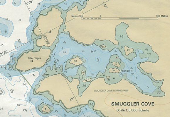
Navionics on the iPad works great, unless your iPad dies. And I'm not talking about running out of battery power. I saw the fabled "blue screen of death" wipe across the screen mere seconds after leaving the VERY narrow entrance to Smuggler Cove Provincial Park in BC - at low tide. Of course we had back up paper charts, etc. But had the iPad died 30 seconds earlier while still in the middle of maneuvering through the rocks, I might have had one of those sphincter-tightening moments you would much rather avoid. Still love Navionics, though (and are very happy we opted for the extended replacement warranty when we bought the iPad almost two years ago at Best Buy - we now have a brand new one).
We are thinking of using an IPad as a backup to our navigation system. We spend our summers in Alaska and wondered if you or anyone else uses the IPad with Navinoics with confidence? Do you know how frequently the IPad processes the gps information? Is there any additional hardware or software to make the system effective?
wondered if you or anyone else uses the iPad with Navionics with confidence?
we do.
Do you know how frequently the iPad processes the gps information?
Not sure what you are asking but it is real time. If you want to test it, use your iPad maps and drive down the freeway and you can see yourself move. Keep in mind you must have a cellular iPad to have off true GPS.
Is there any additional hardware or software to make the system effective?
Well, you will need the maps.