MurrayM
Guru
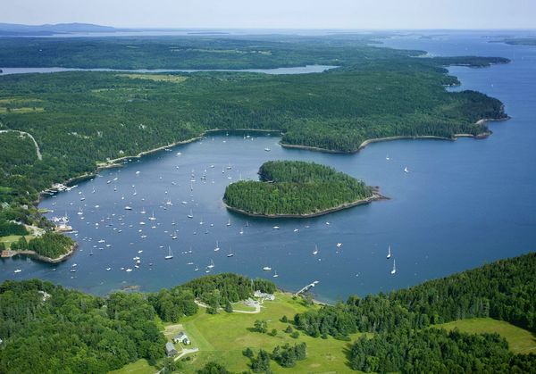
A recent new member to TF from Greenland made me think that providing a Google map link to our home ports would be an interesting way to discover and explore, via satellite images, the home cruising areas of other members around the world.
Here's a link to Kitimat, BC, Canada;
https://maps.google.ca/maps?client=...ca&ei=23CxU-zUOdjcoASfiYGQAg&ved=0CKIBEPIBMBM
Here's a link to Kitimat, BC, Canada;
https://maps.google.ca/maps?client=...ca&ei=23CxU-zUOdjcoASfiYGQAg&ved=0CKIBEPIBMBM