caltexflanc
Guru
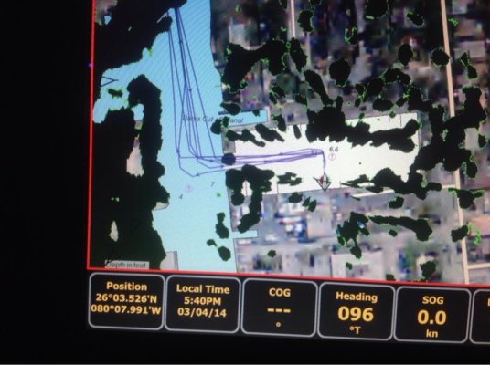
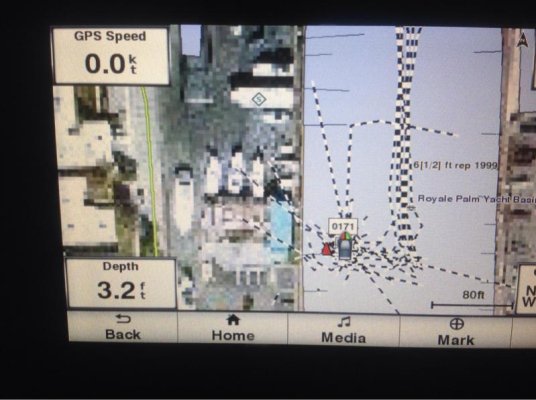
The Simrad is not connected to a heading sensor, nor auto pilot. The picture of the garmin at that present time the AP was not hooked up to it, but it now is. So I'll have to check and see if it's right. That's one of the additions we have to do the network is add a heading sensor. Ultimately we want a full maretron monitoring package but were going wait a while. Also a N2K weather station is next on the list.
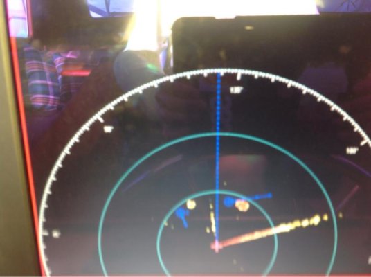
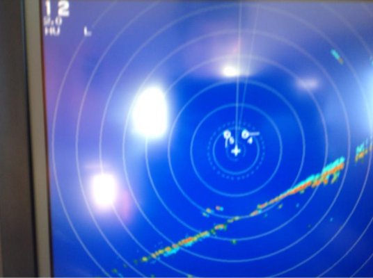
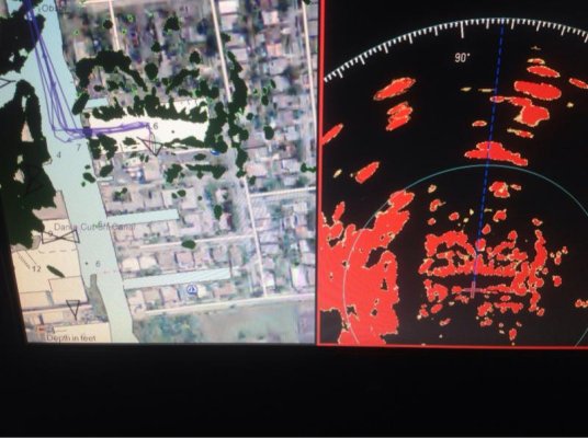
I did say "likely" Then the Simrad last sensed/registered the boat going forward. it may be more or less sensitive than the Garmin as to when it denotes a change. Do you have a radar with MARPA/ARPA and/or overlay?